
A guide to a day in Hoy and a walk to the ‘Old Man’

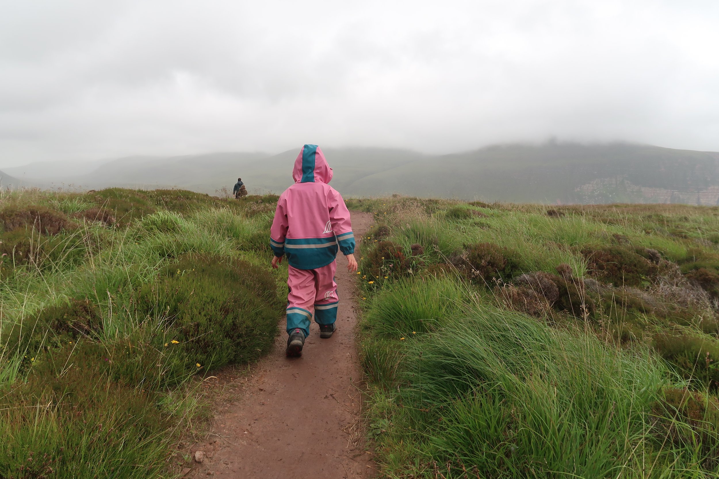
Rackwick Bay, Hoy
Orkney is a special island to Shetlanders; we share a ferry, an unreliable airline, Scandinavian ties and a friendly rivalry, which is amplified every time our football teams meet on the pitch. With a past dominated by Vikings and earls and a history that, until 1469, belonged to the Scandinavian kingdom. It wasn’t until the islands were given to Scotland’s King James III by King Christian I of Denmark as part of a wedding dowry that the islands became ‘Scottish’.
Orkney, with a population of around 22,000, has about 70 islands, with 20 inhabited. Mainland Orkney can get busy during the high season, particularly on days when cruise liners visit, so it’s always worth considering an island trip. I’ve already written about our time in Westray, and in this blog, we explore Hoy.
Inter-island ferries operate across Orkney’s islands. Most are vehicle ferries running regularly, with some boarding foot passengers only, so it’s worth checking. We started the day driving 20 minutes from Kirkwall to Houton, where the ferry was to take us across to the island of Hoy – meaning High in Old Norse – the second largest island in Orkney. The unimaginatively named Hoy Head took us across on the ferry, a 40-minute crossing over to Lyness in Hoy.
Most of Orkney’s nine ferries (running to 13 islands) depart from Kirkwall. Ferries to Hoy, Graemsay & Flotta and Rousay, Egilsay & Wyre depart from Houton (near Stromness) or Tingwall (northwest of Kirkwall). A passenger ferry runs between Stromness and North Hoy (booking not required). Ferries can be pricey, and most islands have limited daily sailings, so booking well in advance of travel is recommended. Caravans must be booked over the phone (other journeys are booked online) (www.orkneyferries.co.uk/+44 (0)1856 872044).
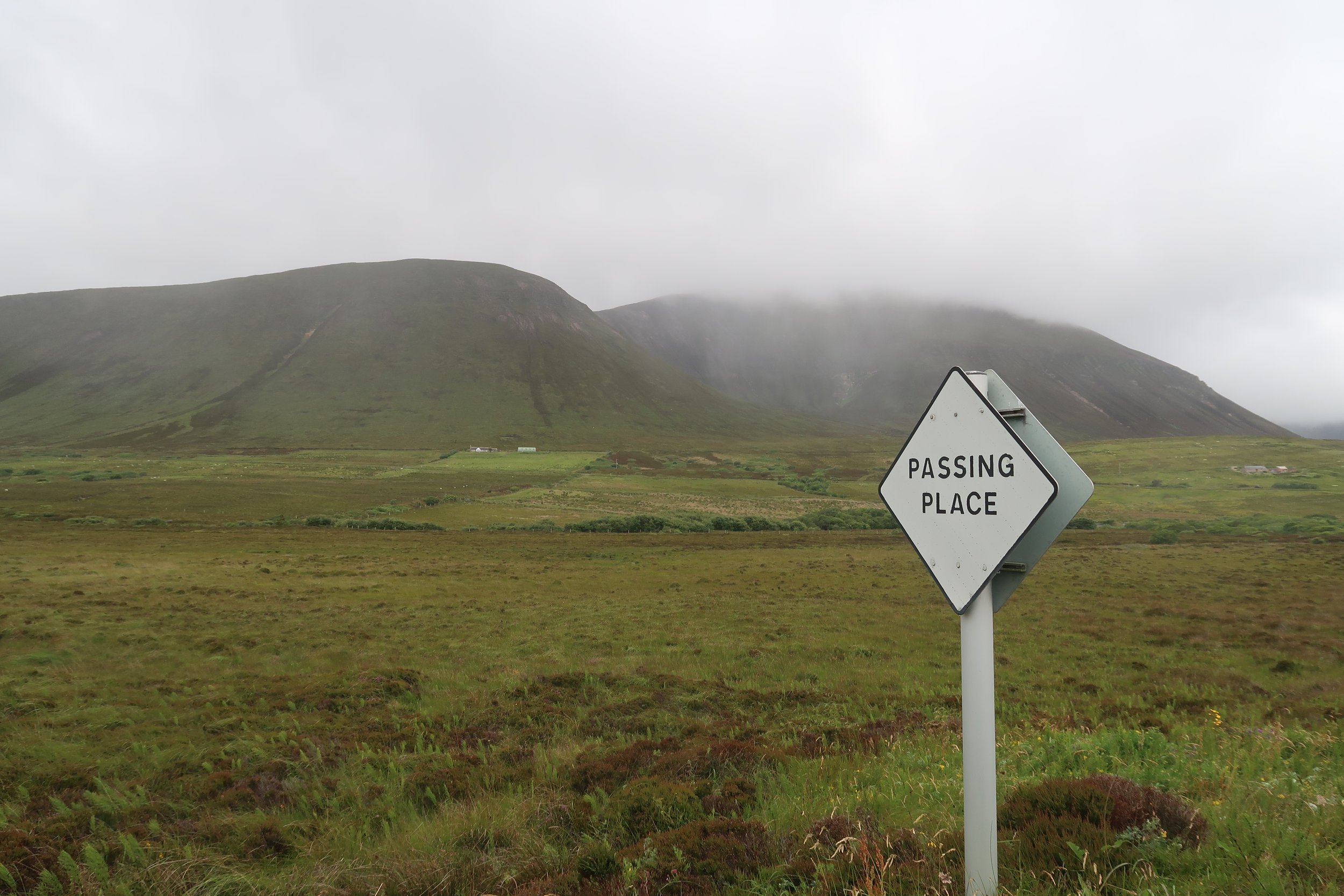
Hoy is a mountainous island shaped by the last Ice Age and dominated by Ward Hill – the island’s highest point (over 1500 ft). Hoy is unlike any other place in Orkney; deep valleys and steep-sided slopes characterise the island, a stark contrast to the gently rolling hills and fertile sandstone landscapes dominated by agriculture that form much of the archipelago of Orkney.
With only a day to play with, we immediately headed towards Rackwick, a place that’s inspired artists and poets for generations, including Orkney’s best-loved author, George Mackay Brown, who wrote of Rackwick:
“When Rackwick weeps, its grief is long and forlorn and utterly desolate.”
Before reaching Rackwick, we stopped at Betty Corrigall’s grave, a sad and lonely grave set high in the hills and often described as Britain’s most lonesome grave. Betty was a young lass from nearby Lyness who, in the late 1770s, found herself pregnant and abandoned by a sailor. Heartbroken and disgraced, Betty took her own life. At this time, suicide was frowned upon by the Kirk, and Betty wasn’t allowed a burial in consecrated ground. Sadly, she was interred on the lonely and remote parish boundary between Hoy and North Walls. In the 1930s, peat cutters discovered a wooden box and, on opening it, found Betty’s grave, which had been almost wholly preserved in the peat, her black curls still intact and, reputedly, the rope noose still around her neck.

Betty Corrigall’s grave
Leaving Betty’s lonely resting place set in the beautiful high hills of Hoy, we headed the final few miles towards Rackwick.
The landscapes of Hoy, Orkney
On the way to Rackwick, we passed the famous Dwarfie Stane, a Neolithic rock-cut hollow carved from a slab of stone and thought to date back some 5,000 years. Legend says that this was the home of a giant, and later folklore reported that a dwarf lived there – hence the name.
We also passed the viewing point for observing the breeding white-tailed eagles now residing in Hoy. Although we never spotted the eagles, we did spot a short-eared owl, which was a novelty for us Shetlanders, who seldom see owls at home.
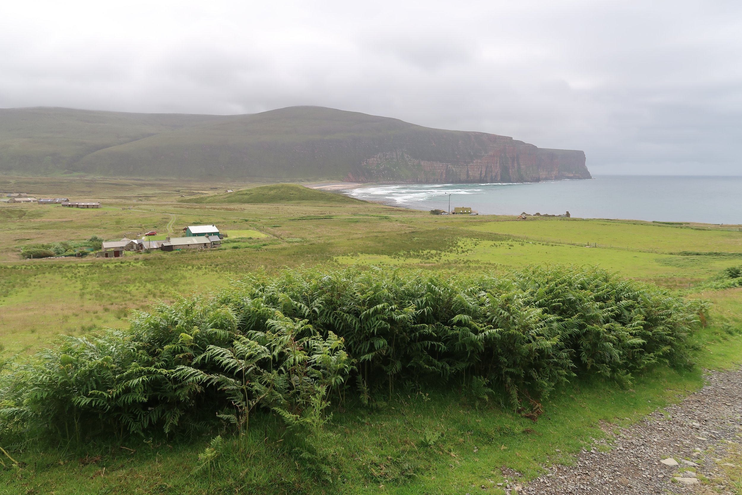
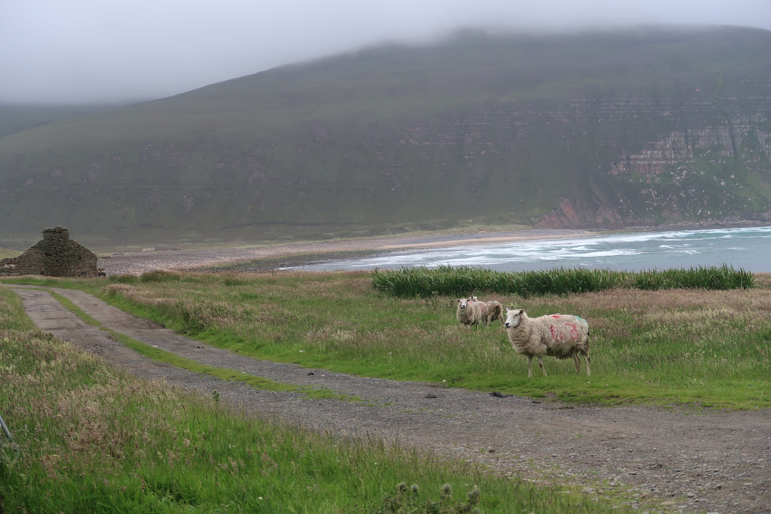
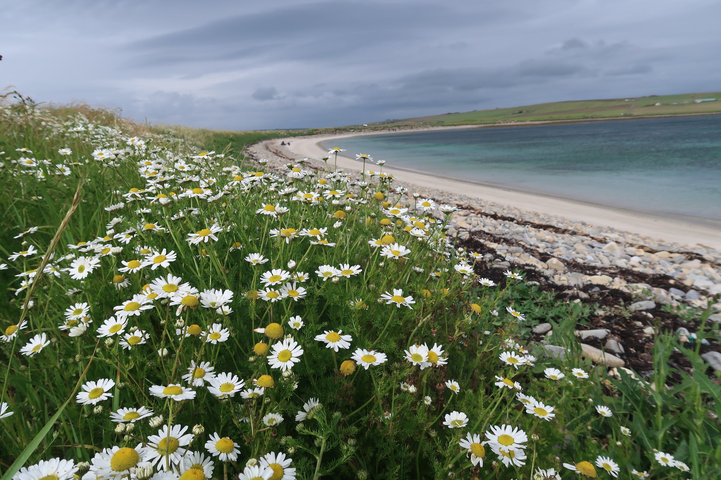
Rackwick comes from the Old Norse for ‘Reka Vik’ – wreck (or jetsam) bay. It has a similar amphitheatre feel to St Kilda’s Village Bay and is surrounded on all three sides by steep slopes. The enclosed bay can feel quiet and serene – belaying the fierce wind that often blows on the hilltops – or can become a bubbling cauldron of spindrift and surf as large breakers are driven ashore off the Atlantic in a winter storm.

Rackwick
Rackwick itself is a beautiful sandy bay with a burn that cuts through the sand and boulder pebbles – a testament to the powerful might of the Atlantic – before meandering uneasily out to the sea beyond.

The Old Man of Hoy
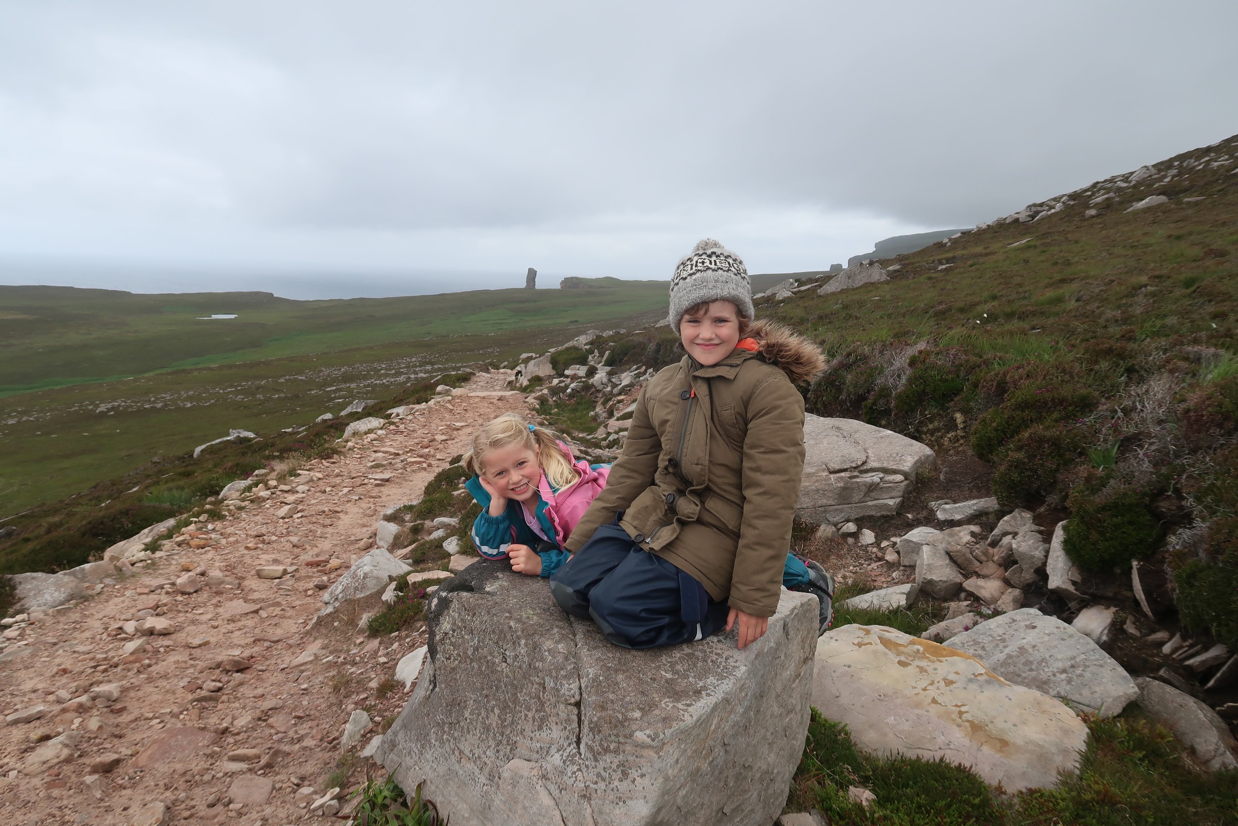
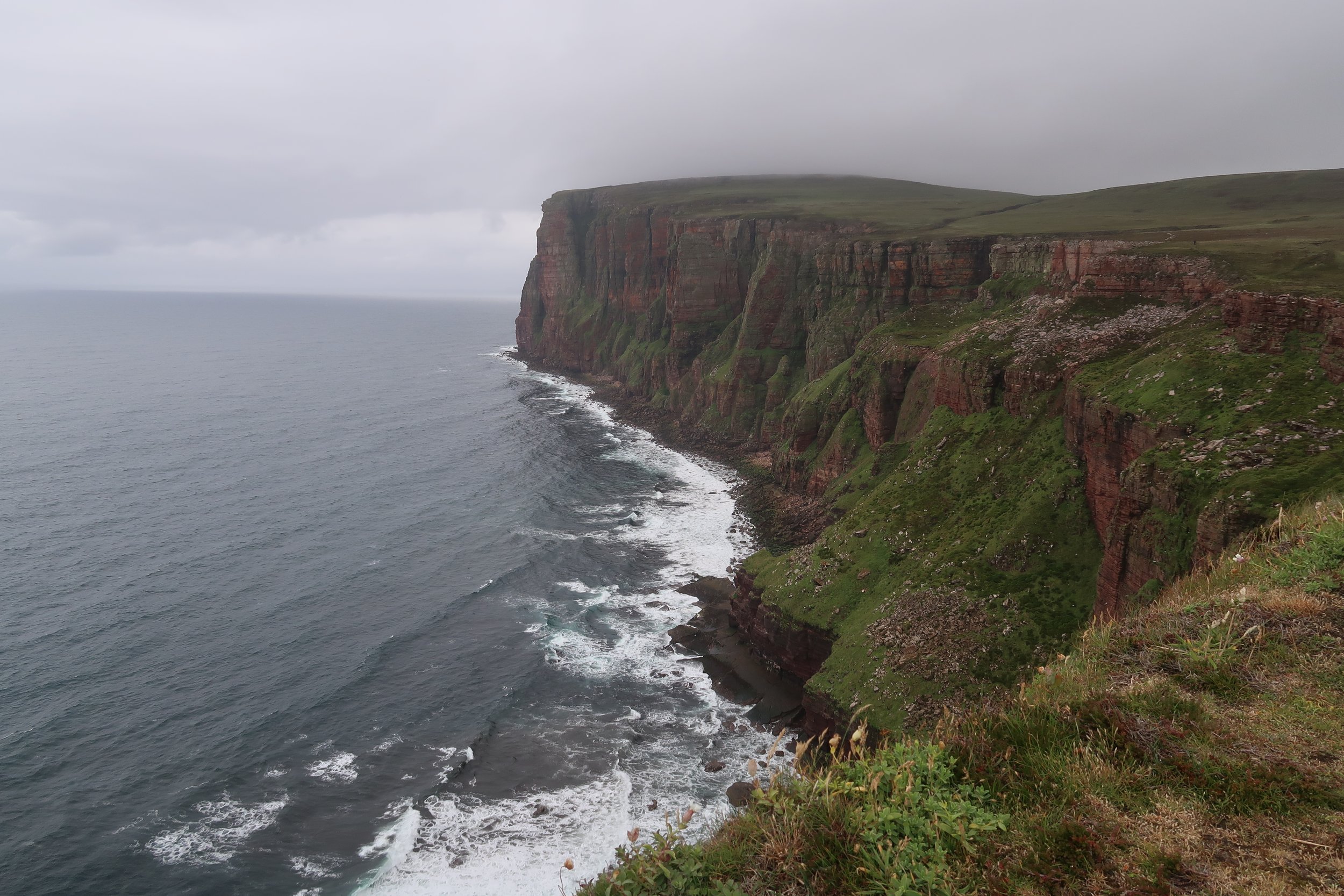
We parked in the designated car park to tackle Orkney’s best hike, the Old Man of Hoy. The Old Man of Hoy is the image so much associated with Orkney that it has become almost emblematic of what a holiday to Orkney should look like. This towering sea stack that proudly stands 450 ft (137 m) from the water on Hoy’s northwestern coast pulls in hikers, climbers and photographers alike, keen to experience and capture the sheer scale of this gravity-defying column of vibrant red sandstone.
From Rackwick, a rough path meanders up the hill and out over the open moorland towards the Old Man of Hoy, an impressive 450ft (137m) sea stack. This is probably the most famous of Orkney’s landmarks and is formed by a sheer column of sandstone that stands from the sea, proudly defying gravity – and the elements. It is a challenge for climbers, first conquered in 1966, and offers photographers endless opportunities for alluring and dramatic shots.
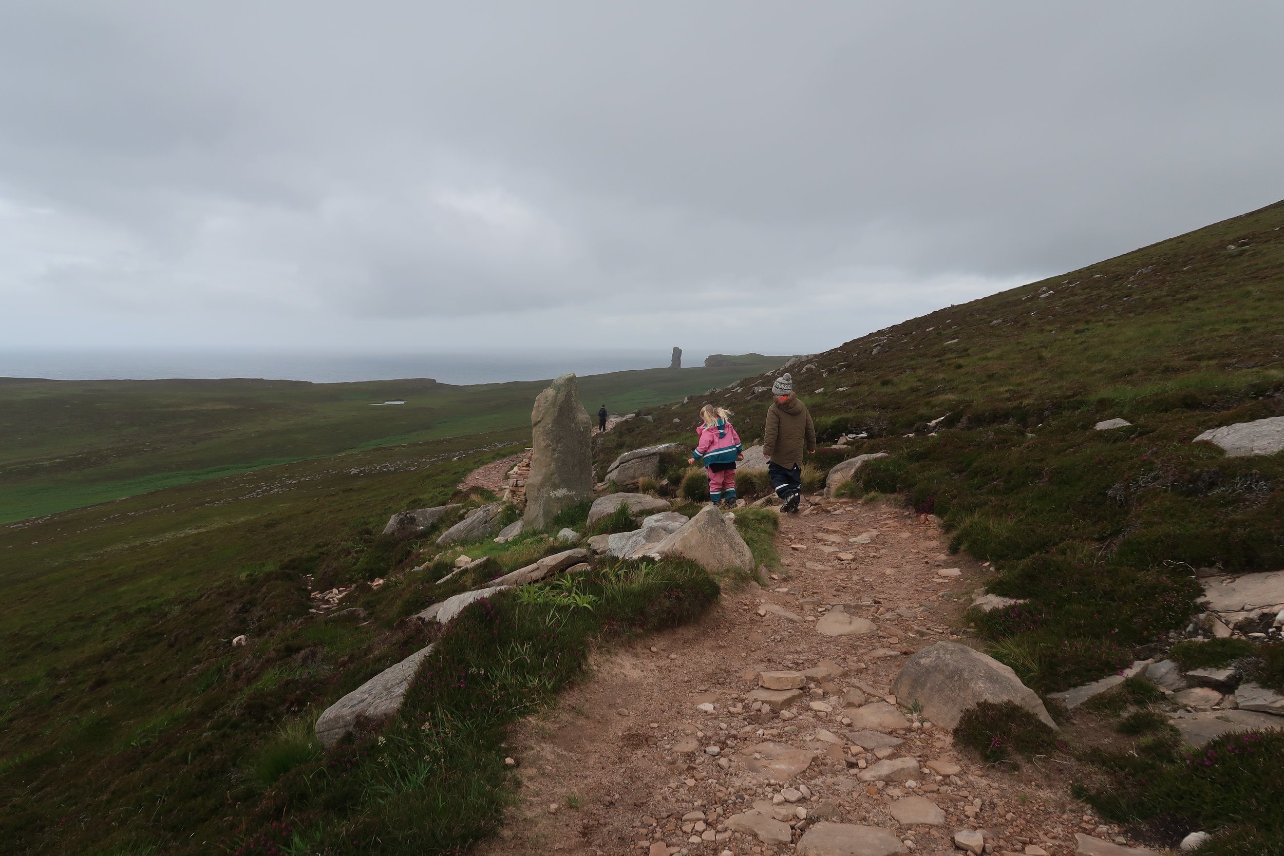
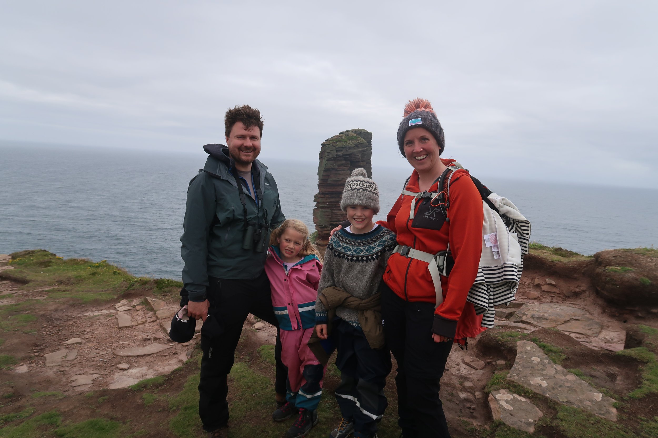
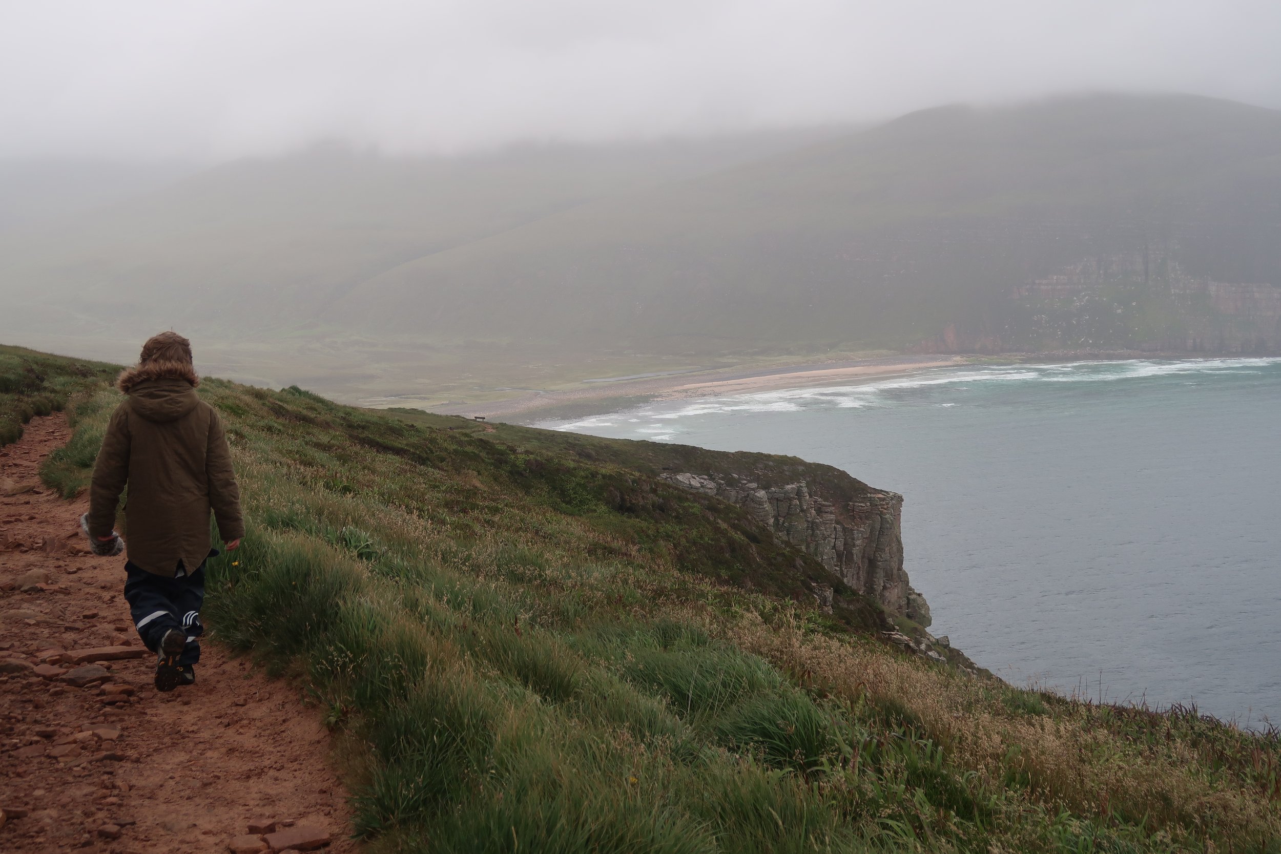
The walk is a three-hour round trip of 5.5 miles (9 km) from Rackwick car park. Alternatively, a passenger ferry from Stromness to Moaness enables a longer hike through the Rackwick Valley.
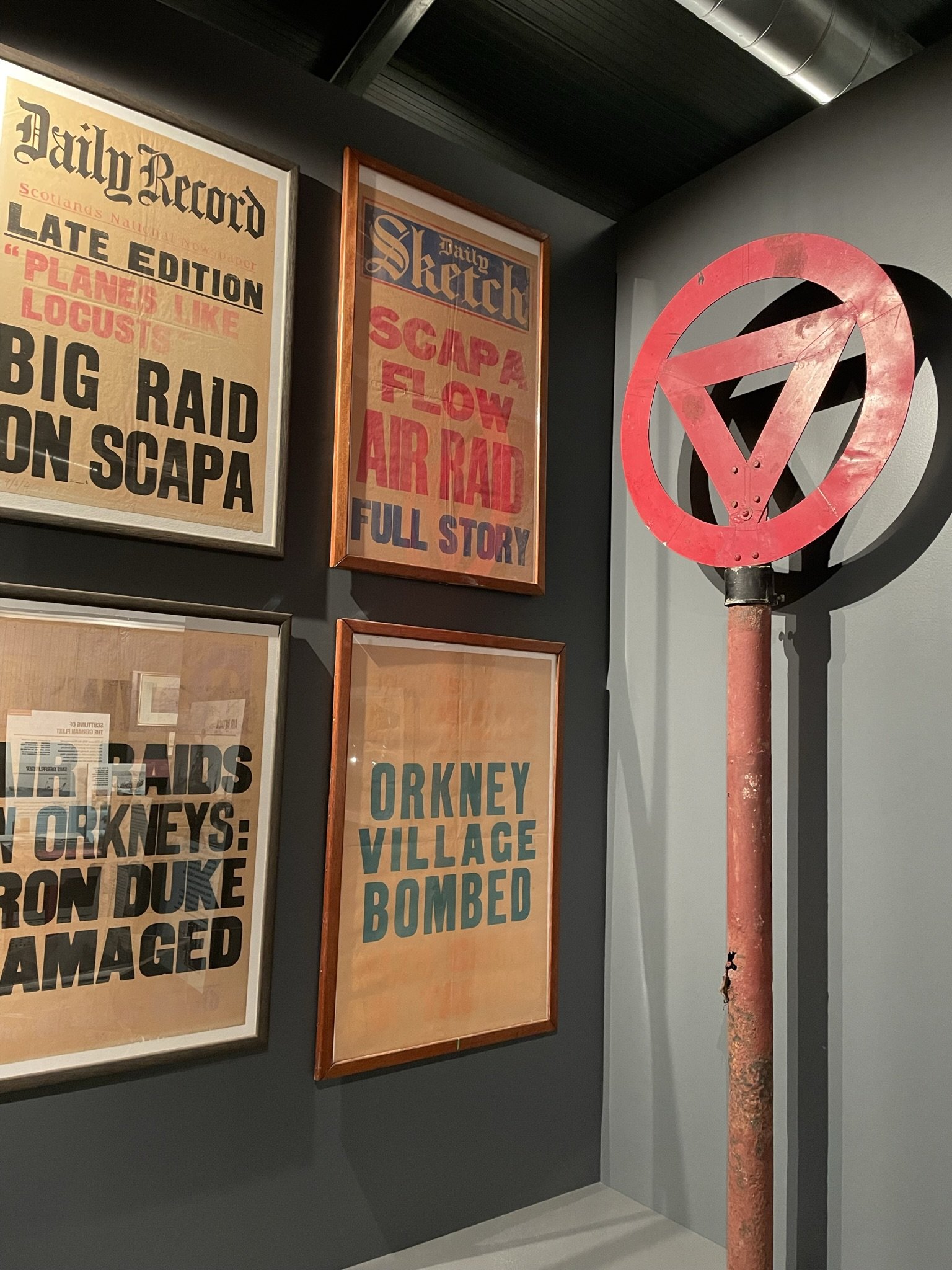
After the hike to the Old Man and back, we visited the Scapa Flow Museum, a modern, interactive museum which opened in 2022. Hoy’s Lyness Naval Base now houses this state-of-the-art museum, and the island’s landscape echoes with military installations. The museum is housed within the former oil pumping station – just a few minutes walk from the ferry terminal.
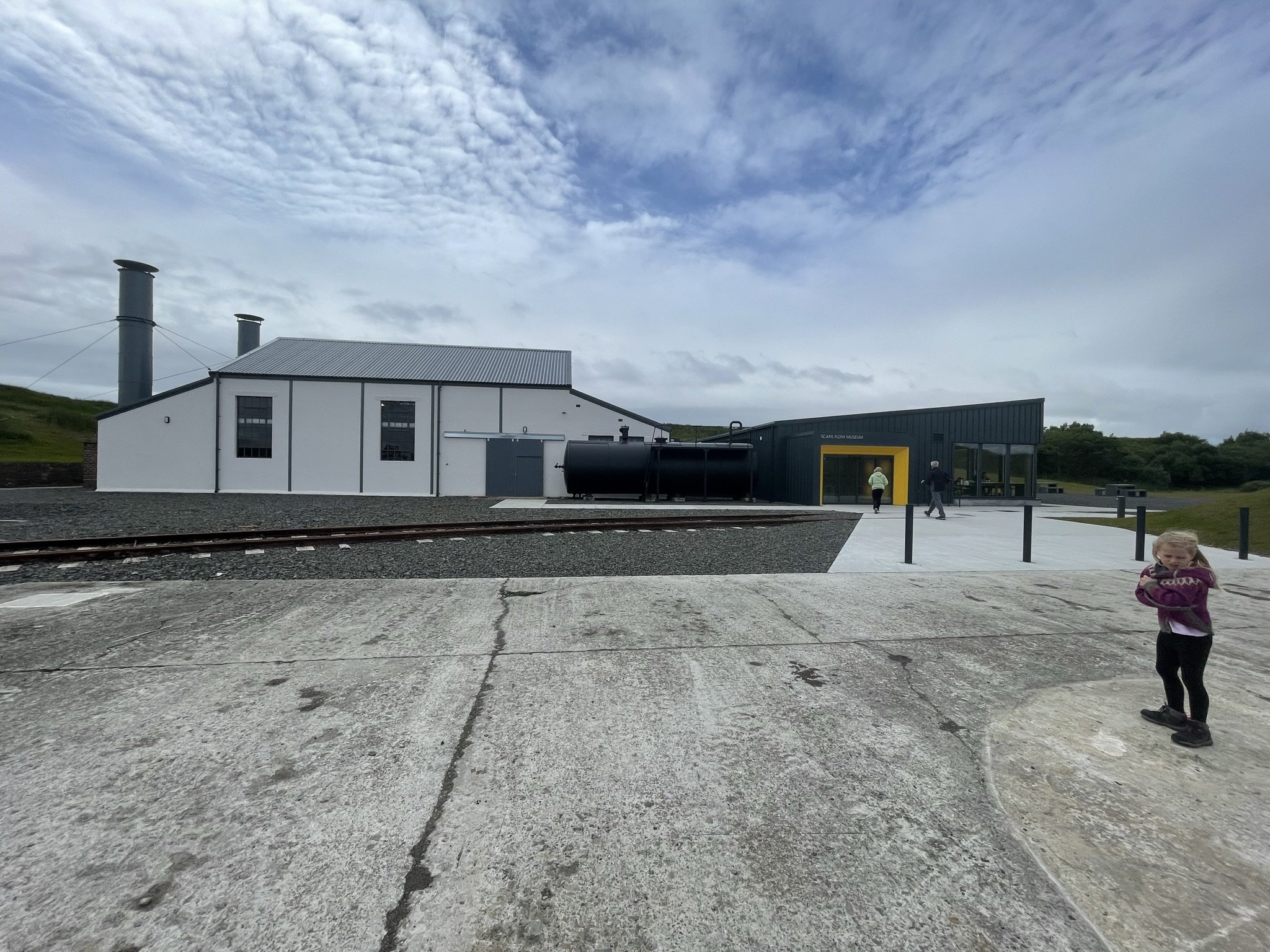
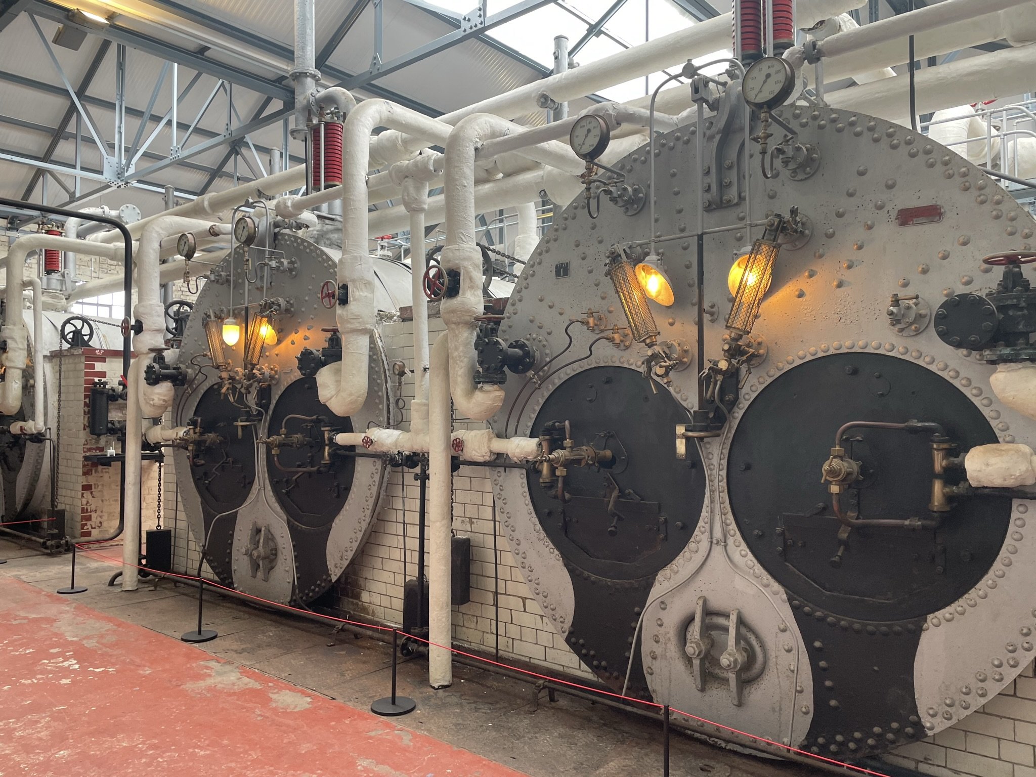
The exhibitions tell the story of Scapa Flow as the Naval Home Fleet’s main base throughout the First and Second World Wars. Scapa Flow provided a large and relatively safe anchorage for the British Navy, allowing access to the North Sea and North Atlantic.
Despite its northern location, Orkney was a pivotal base in both world wars and of great strategic importance to Allied forces. Evidence of Orkney’s wartime role is scattered across the islands and etched into the landscape, often in plain sight – acting as a poignant reminder of Europe’s 20th-century struggles for peace.
Nearby, the Lyness Naval Cemetery, one of the largest Commonwealth Graves in the UK, carries the graves of service personnel who lost their lives to war.
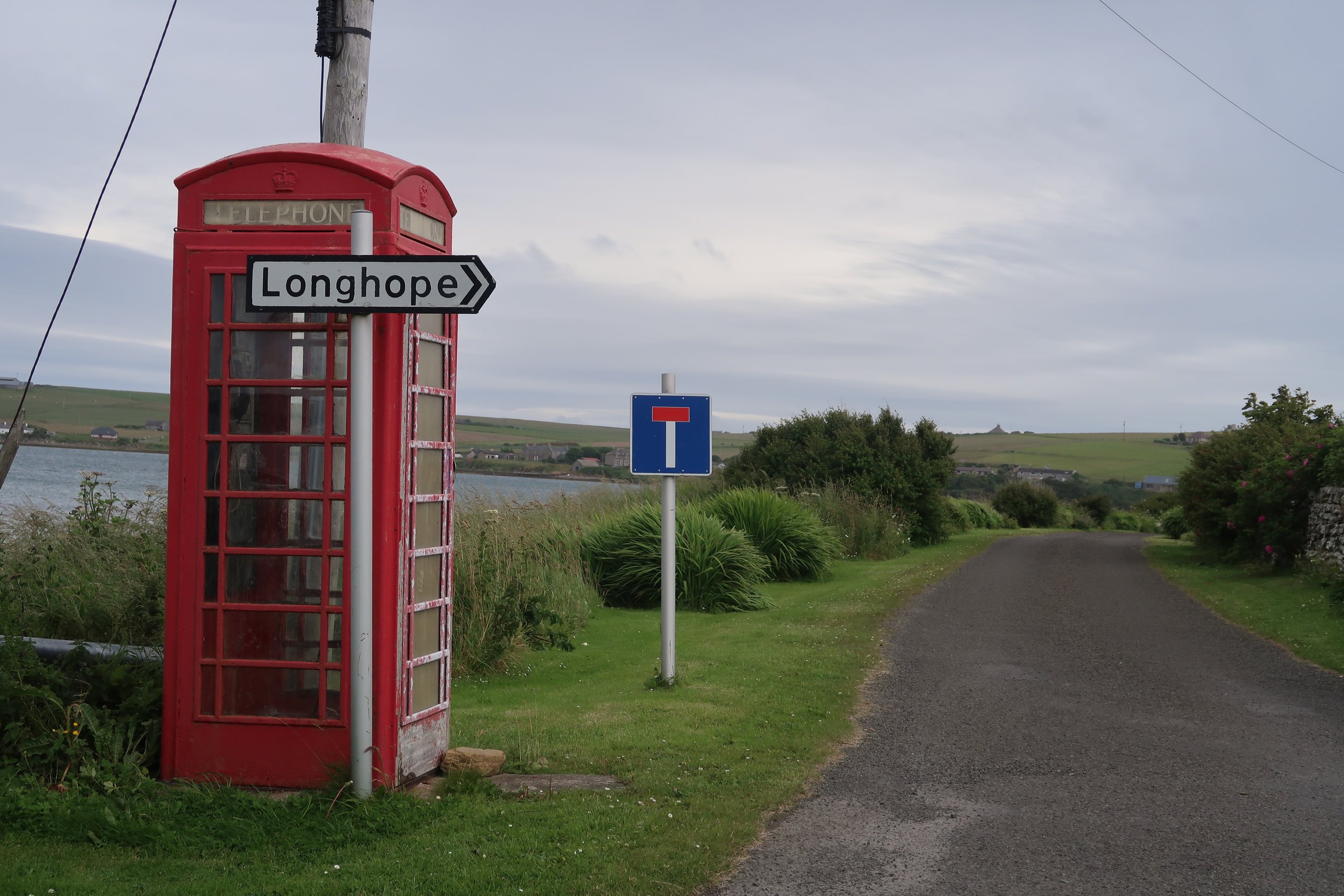
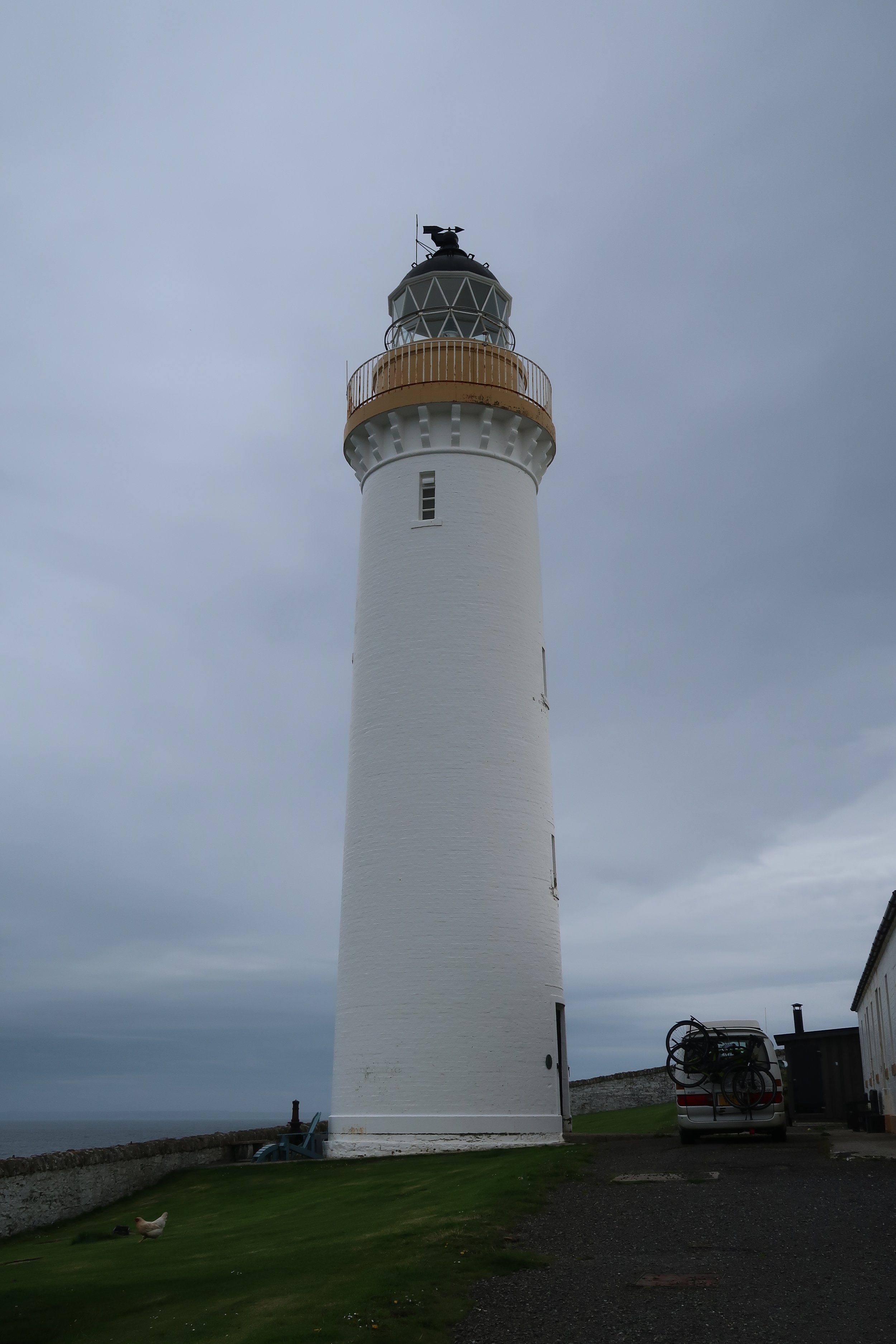
After viewing the well-curated exhibitions, we drove to South Walls, passing through Longhope and towards Cantick Head, where the lighthouse looks out across the Pentland Firth towards the Scottish Mainland. The light was first lit in 1858 and designed by David Stevenson. Now automated, the keeper’s accommodation is used as a self-catering cottage.
Cantick Head Lighthouse
We visited the Hackness Martello Tower and Longhope Battery, demonstrating the evolution of wartime architecture in Orkney. The Tower was built between 1813 and 1815 to protect Baltic convoys, and it was later used in the First World War along with the Hackness battery.
Longhope Lifeboat Museum is also worth a visit if time allows. The station opened in 1874 and has saved over 500 lives. The boatshed – now a museum – is home to one of the early lifeboats, RNLB Thomas McCunn, a 45ft Watson Class lifeboat that operated between 1933 and 1962. During this time, it was launched 101 times and saved 308 lives. Another memorial on the island commemorates the eight-man crew that was lost with all hands in 1969 whilst on a shout.

Longhope Lifeboat Museum
Before heading for the 17.50 ferry, we drove up the rutted, disused road towards the Wee Fea, a large wartime building from the Second World War that was used as a communications and signal station. With commanding views across Scapa Flow, it’s clear why Hoy was such an important strategic position for wartime Orkney. There are fantastic views over the south isles, including the oil terminal in neighbouring Flotta.

We had an incredible day in Hoy, and the highlight was the hike to the Old Man of Hoy. Hoy is unlike any other place we have visited in Orkney, and its heather-clad hills certainly felt more familiar to us Shetlanders.
If you plan to visit Hoy, save this blog for later!

Ways you can support my work…

