
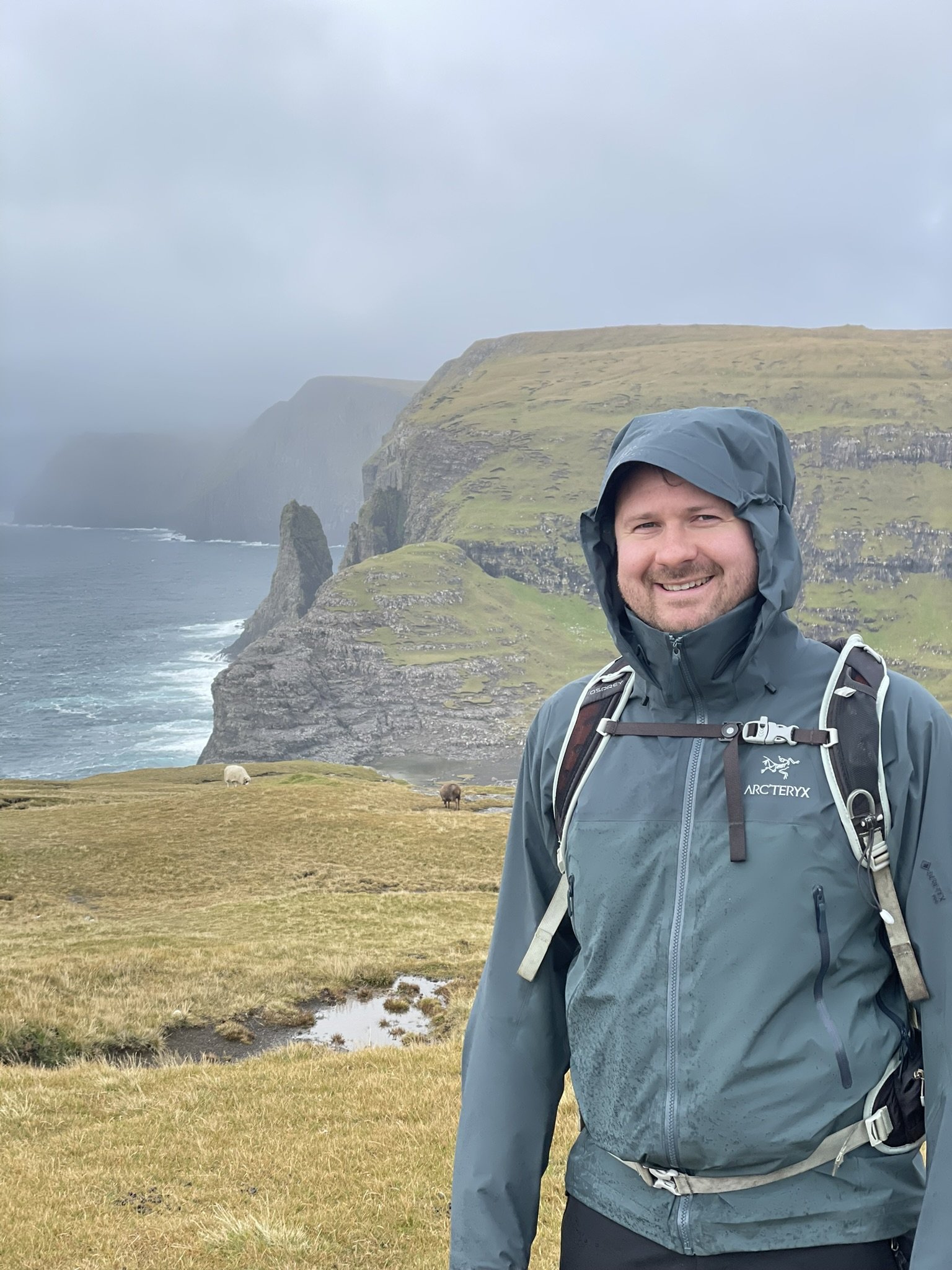
Visiting Faroe — 7 tips for making your Faroe adventure memorable

Bøur and Tindholmur
Faroe is an island that has fascinated me for as long as I can remember. It’s a place that Shetland has long had strong associations with, from the Vikings of our Sagas who passed through Shetland en route to Faroe and Iceland to the northwest to the cod hunters of the 19th century who fished these northern waters, returning many months later with boats brimming with fish to my own father who fished the area, often forced into Torshavn by bad weather and the maalie, or fulmar, a bird so synonymous with Shetland, but one that has only been here since the late 19th century when it came south from Faroe and is now our most abundant seabird.
Our histories are woven together by these Viking explorers, our fishermen, our language and the common thread of relative isolation, self-reliance and independence that only island communities can truly understand.
Faroe sits at 62° north, halfway between Shetland and Iceland. Like Shetland, it’s an island archipelago comprising 18 significant islands and many smaller islands, rocks and skerries. Where relatively low-lying hills form Shetland, the terrain of Faroe is mountainous, imposing and almost impossible to farm. It’s a rugged country where communities are strung out along the shoreline at the head of deep fjords or bays, many of which are connected today by tunnels, forging routes through mountains and undersea. Yet, despite its harsh landscape and climate, the islands are home to a thriving community of around 54,000 people – almost twice the population of Shetland living in a similar-sized island group.
Shetland
Total area: 1,466 ㎢
Highest point: 450 m
Population: 23,000
Faroe
Total area: 1,399 ㎢
Highest point: 882 m
Population: 54,000
Anyway, let’s dive in! This blog will be a mixture of things to do based on our itinerary and tips for visiting. So, let’s begin with a tip.

Plan your visit by area – tip 1
Faroe is a collection of 18 larger islands, many connected by tunnels, meaning it’s easy to get around.
We flew from Edinburgh, where Atlantic Airways operates flights on Monday and Thursday. We flew in on Monday, giving us around two-and-a-half days to explore.
I got Oda Andreasen to devise an itinerary for me. I would highly recommend getting a bespoke itinerary made as it will save you a lot of time and effort, and you can be sure that you’ll see all the best sites, as suggested by a local. Oda has years of experience working in tourism and leads guided tours, which you can book via her website.
Day One
We landed at the Vágar Airport at teatime, just as the sun was setting, so we didn’t have much time to explore. Vágar is an island on the west side of Faroe and a 45-minute drive to Tórshavn, Faroe’s capital. A tunnel connects Vágar to the island of Streymoy, where Tórshavn sits on the southeast coast. Oda recommended that we take the mountain road (route 50) to Tórshavn rather than going through the mountain tunnel which comes out at Kaldbaksbotnur (a great place to see bottlenose whales) so that we could enjoy the spectacular views from Norðadalsskarð.
From here, we checked into our hotel on the outskirts of Tórshavn. Hotel Brandan is a modern hotel with a real Scandi feel where renowned Faroese artist Edward Fuglø has decorated every room with his unique ‘Landmark’ artwork depicting the flora and fauna of the islands.

Edward Fuglø’s ‘Landmark’ artwork in Hotel Brandan
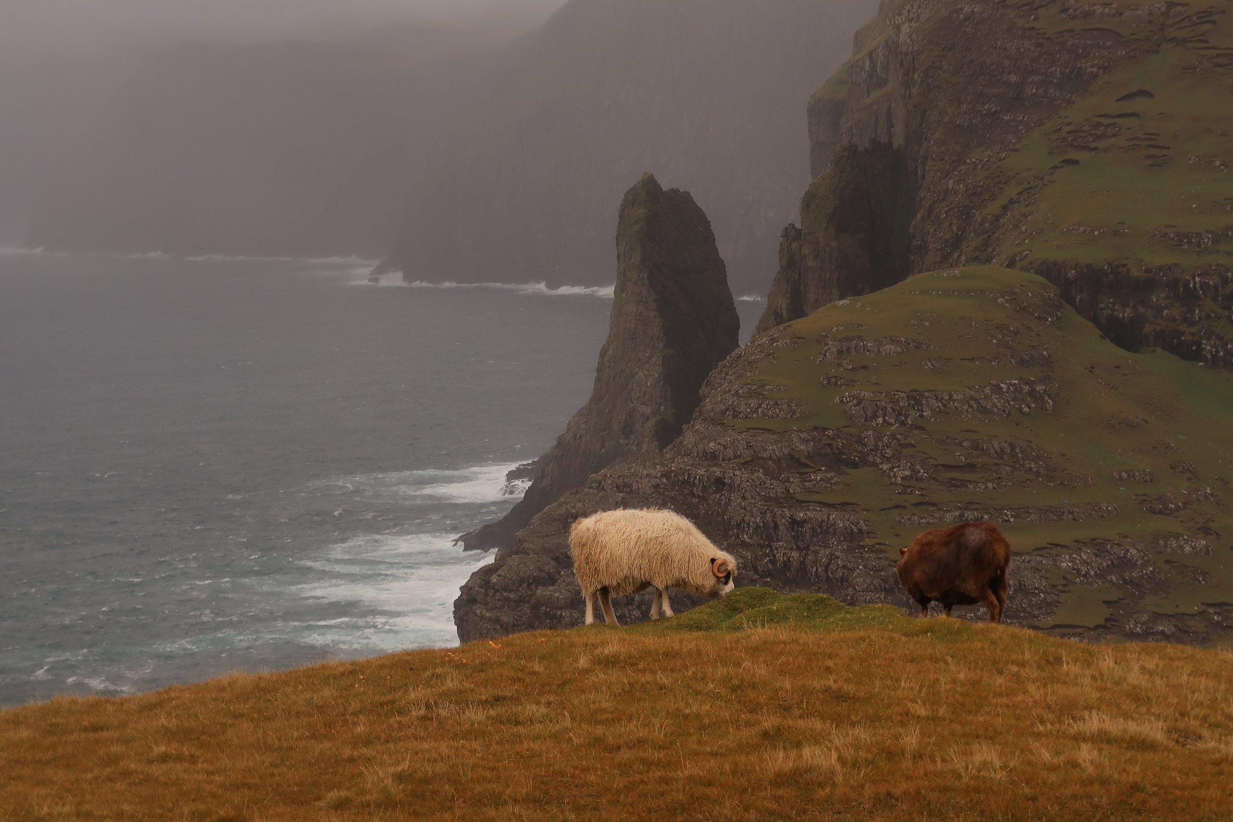
Faroe’s economy is built around the sea, and as we drove between the airport and Tórshavn, this maritime dependence was clear to see. Faroe feels industrious, and there’s a real focus on the sea. The land appears impossible to farm, and it’s a place where rudimentary fields have been carved from the vertiginous hillsides and reinforced with soil and drainage ditches to grow grasses used as winter feed for animals. It’s a landscape bereft of tractors or crops, and the only way to navigate the steep slopes is on foot. Sheep are abundant, grazing every available hillside with gravity-defying defiance, their coats growing longer as the days turn shorter.
We arrived at the hotel late after attempting to navigate a country that appeared unnavigable. (Faroe isn’t unnavigable, but you need to be prepared, which leads me to my second tip.)
Navigation requires a little extra consideration – tip 2
In the UK, we’re accustomed to chucking a postcode into the Sat Nav before being readily guided to our destination. This wasn’t the case in Faroe. Our hire car Sat Nav could not even pick up ‘Tórshavn’, let alone our hotel and out-of-the-way beauty spots, so we had to rely on the age-old skill of map reading. We were also without roaming and, within an hour, had spent £50 on data roaming charges.
But there are ways around it:
Switch off data roaming to avoid additional fees on your phone bill.
Pick up a Faroese SIM card to use on holiday (we didn’t do this, as we only had a few days to navigate and the Hotel had wifi).
Download Google Maps on your phone before you arrive; this will help you pinpoint locations and get to them (again, we were ill-prepared and hadn’t done this).
Get a decent map. The Map of the Faroe Islands published and distributed freely by the local tourism department is excellent as it clearly marks all the road numbers. Each road has a number, and you can easily find your destination by following the route numbers.
Remember that the road signs are often very small when driving, so you may go past your destination more than once before you notice the sign! We found this particularly true for the parking to visit Trælanípa and the lake above the ocean.
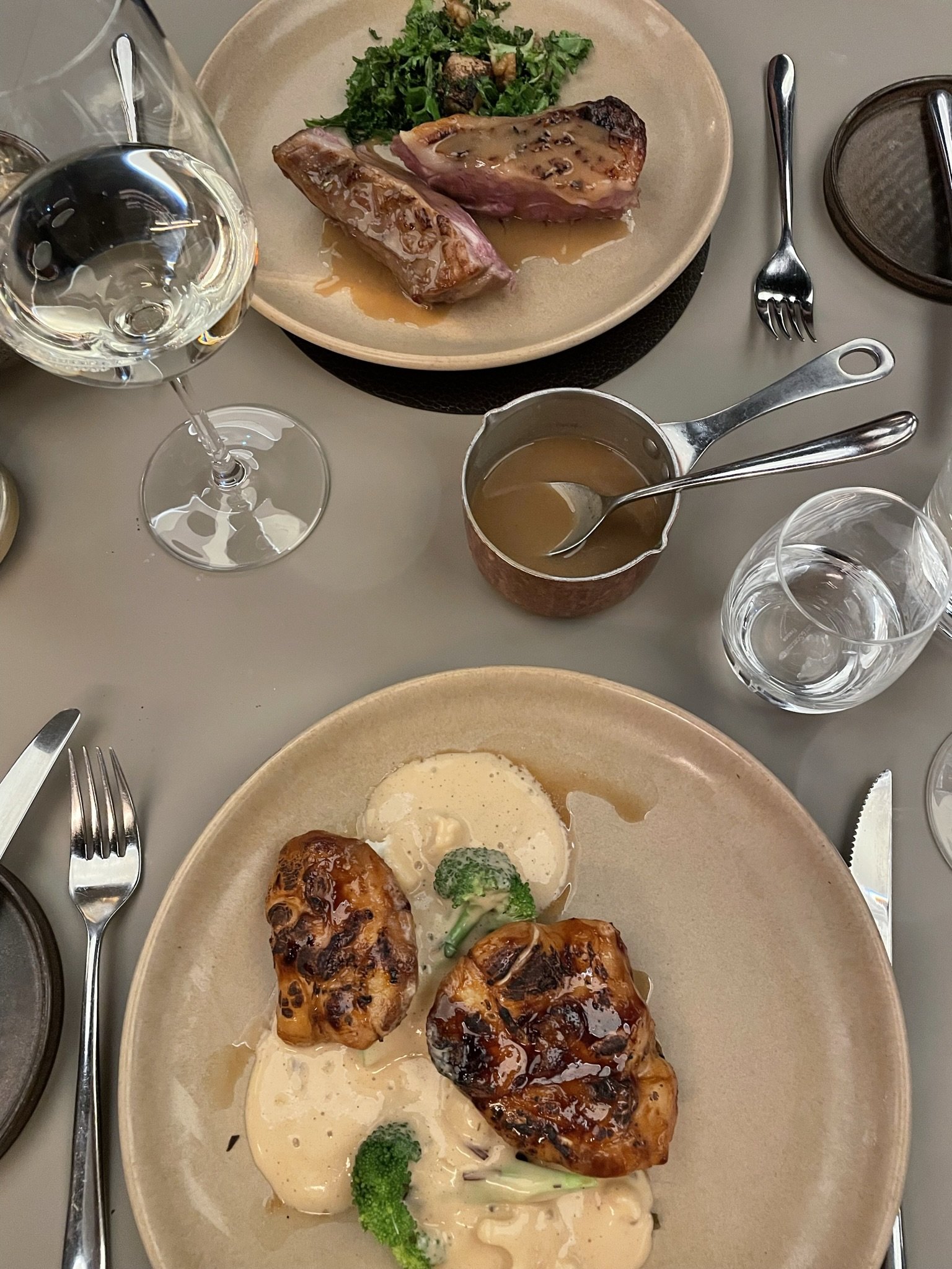
As we arrived late, we decided to eat at the hotel and enjoyed a lovely meal in the hotel restaurant, Húsagarður. Húsagarður offers a set menu with three courses and an a la carte menu.
Day Two
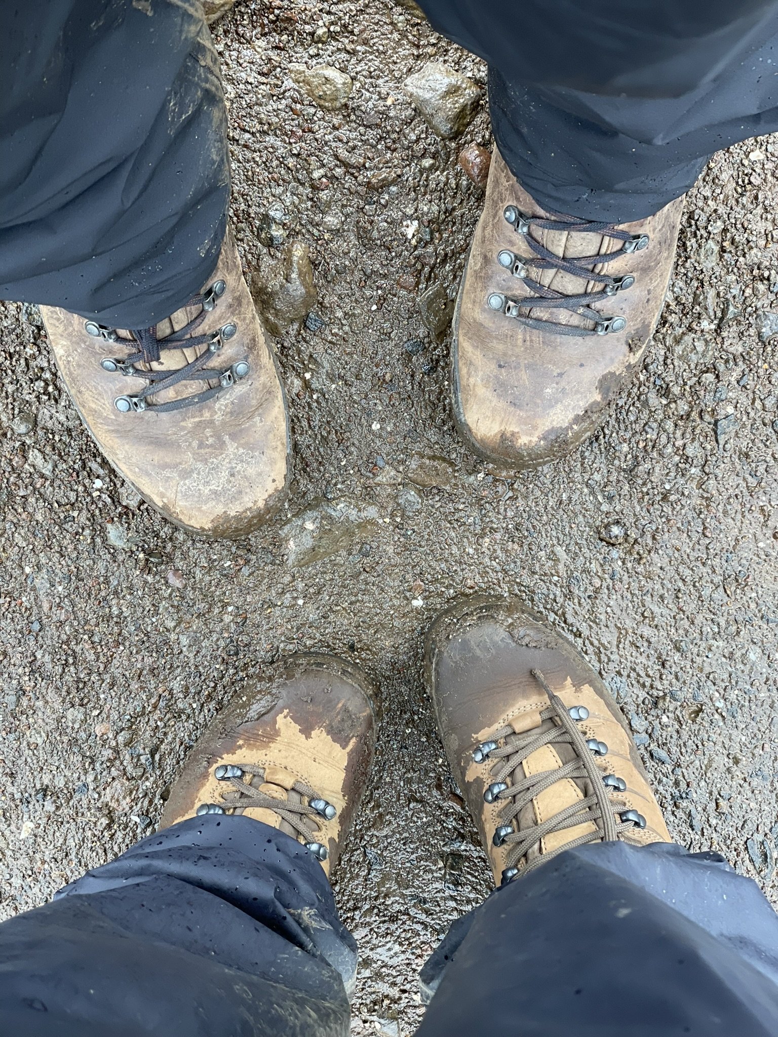
We woke early, laced up our boots and left the hotel by 9 am. We headed back to Vágar, passing through the tunnel between Streymoy and Vágar again – which leads me to tip three!
Be aware of tolls – tip 3
Faroe has fantastic infrastructure, but all the tunnelling through a tough bedrock of basalt is a costly business, and to recoup the expense of these 20 or so tunnels, several of them have tolls you must pay.
There are three sub-sea tunnels in the Faroe Islands. One connects Vágar to Streymoy (where the capital Tórshavn is), and one connects the island Eysturoy to Borðoy (where the town of Klaksvík is). The new Eysturoyar tunnel connects both sides of Skálafjørður on the island of Eysturoy with each other and with the capital Tórshavn (Streymoy). The tunnel is 11.25 km long and has the world’s only undersea roundabout!
When hiring a car from unicar.fo (the car hire company we used), you can select how many tunnel journeys you wish to make – including an unlimited option if you’re unsure how many times you want to pass through them.
The Faroese love their tunnels, as well as the 20 in operation now, two more are already under construction, and another 14 are on the drawing board.
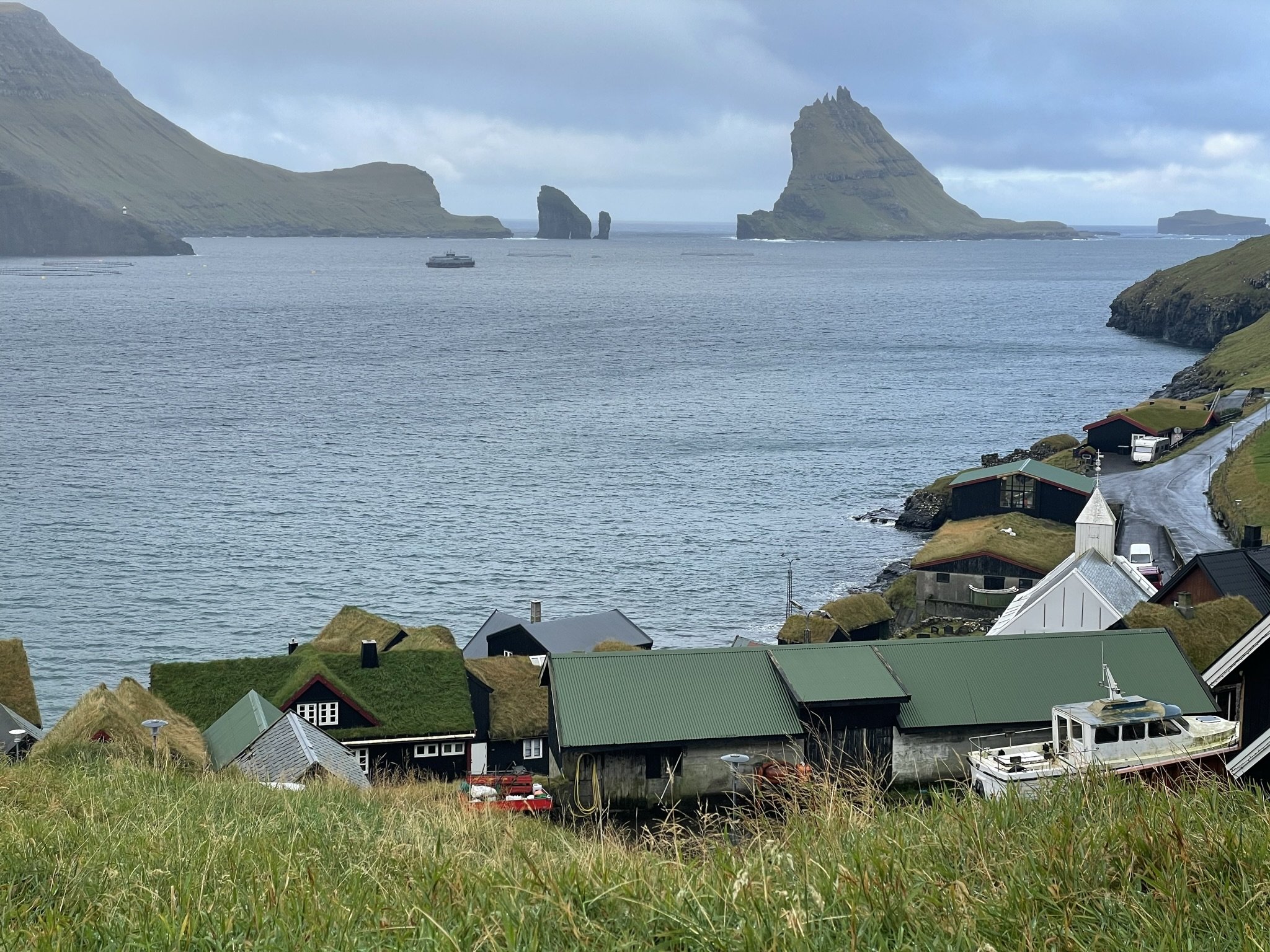
Bøur and the iconic Tindhólmur island
Once we arrived in Vágar, we headed to the island’s northwest corner, passing through Bøur and the iconic Tindhólmur island, where several famous scenes from Peter Pan & Wendy (2023) were filmed. Tindhólmur is an uninhabited island near Mykines (another island on my list for next time) and one of the most iconic landmarks in Faroe. With its distinctive shape and towering peaks rising dramatically from the surrounding ocean, Tindhólmur offered the perfect backdrop to many dramatic scenes. Captain Hook eventually gunned down the children at the Risin and Kellingin sea stacks – about 30 miles away from Tindhólmur. Local legend has it that the two stacks were once giants who tried to drag the Faroe Islands back to Iceland but were caught by the rising sun and turned to stone.
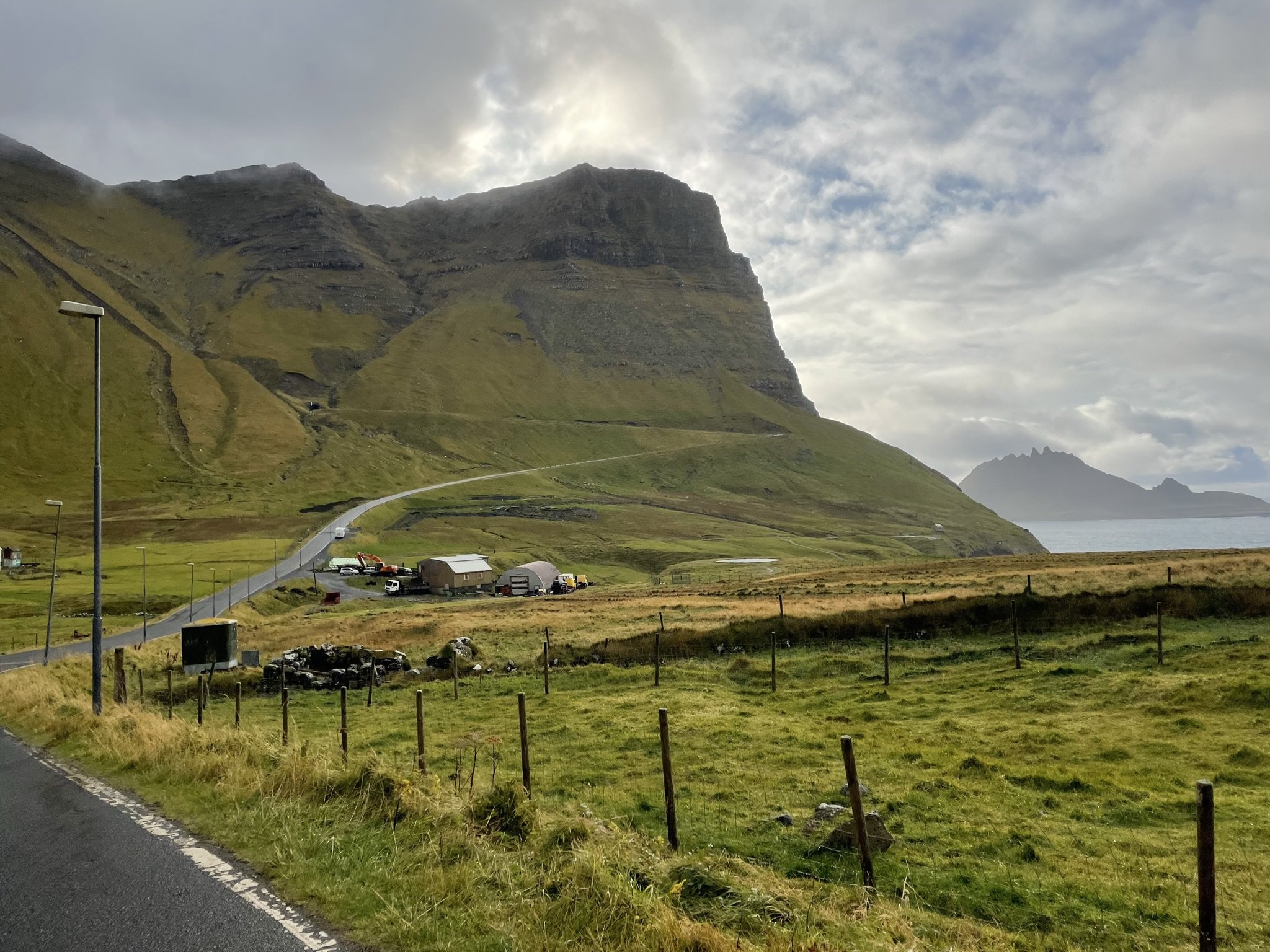
Gásadalur — note the tunnel in the hillside linking the village to the rest of Faroe’s road networks
From here, we passed through another tunnel leading to the beautiful Gásadalur to see the Múlafossur Waterfall. With the towering mountains of Árnafjall (722m) and Eysturtindur (715m) rising steeply above Gásadalur, cloaking the community in their shadows, it feels incredibly remote. The tunnel opened in 2006, giving this community of only a dozen or so inhabitants their first road connection to the rest of Faroe. Before this, the postman had to carry mail twice weekly over the mountain to reach the village. Múlafossur Waterfall, which tumbles into the sea from the mountains above, is one of Faroe’s most iconic and photographed. Despite its popularity, we only met two other people there, who came back to ask us to take a photo of them – for which they reciprocated!

Múlafossur Waterfall
We had planned to have lunch in the popular fish restaurant, Fiskastykkið, in Sandavágur; however, it was closed on the day we visited, so we carried on towards Trælanípa and the lake above the ocean for a hike, leading nicely onto tip four.
Prepare to pay for hiking – tip 4
Most of the walking routes in Faroe charge a hiking fee for walkers to access. The prices vary from around 50DK (around £5) to 250DK (around £25), and many routes have guided hikes for which you can pay a little more. Some routes, such as Drangarnir Sea Stacks, only allow you to hike with a guide, so it’s worth checking before you go.
The hiking fees are set on the most popular routes, allowing for essential path maintenance and, in the case of Trælanípa, access to the coffee shop and toilets at the start of the route. With such sheer landscapes, this also ensures that visitors can be kept safe along pre-prescribed routes and without causing problems to the local surroundings and often delicate flora and fauna.

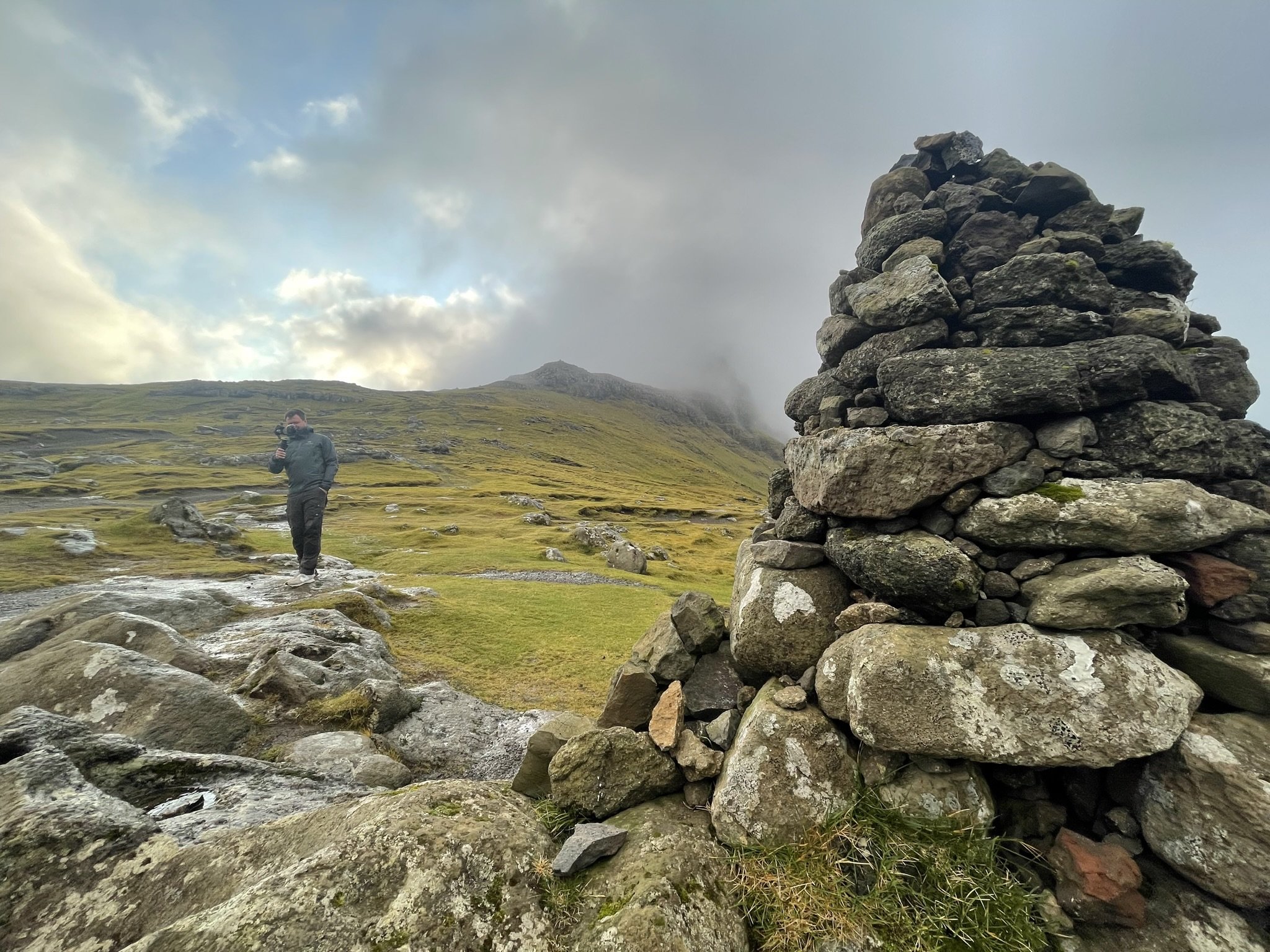
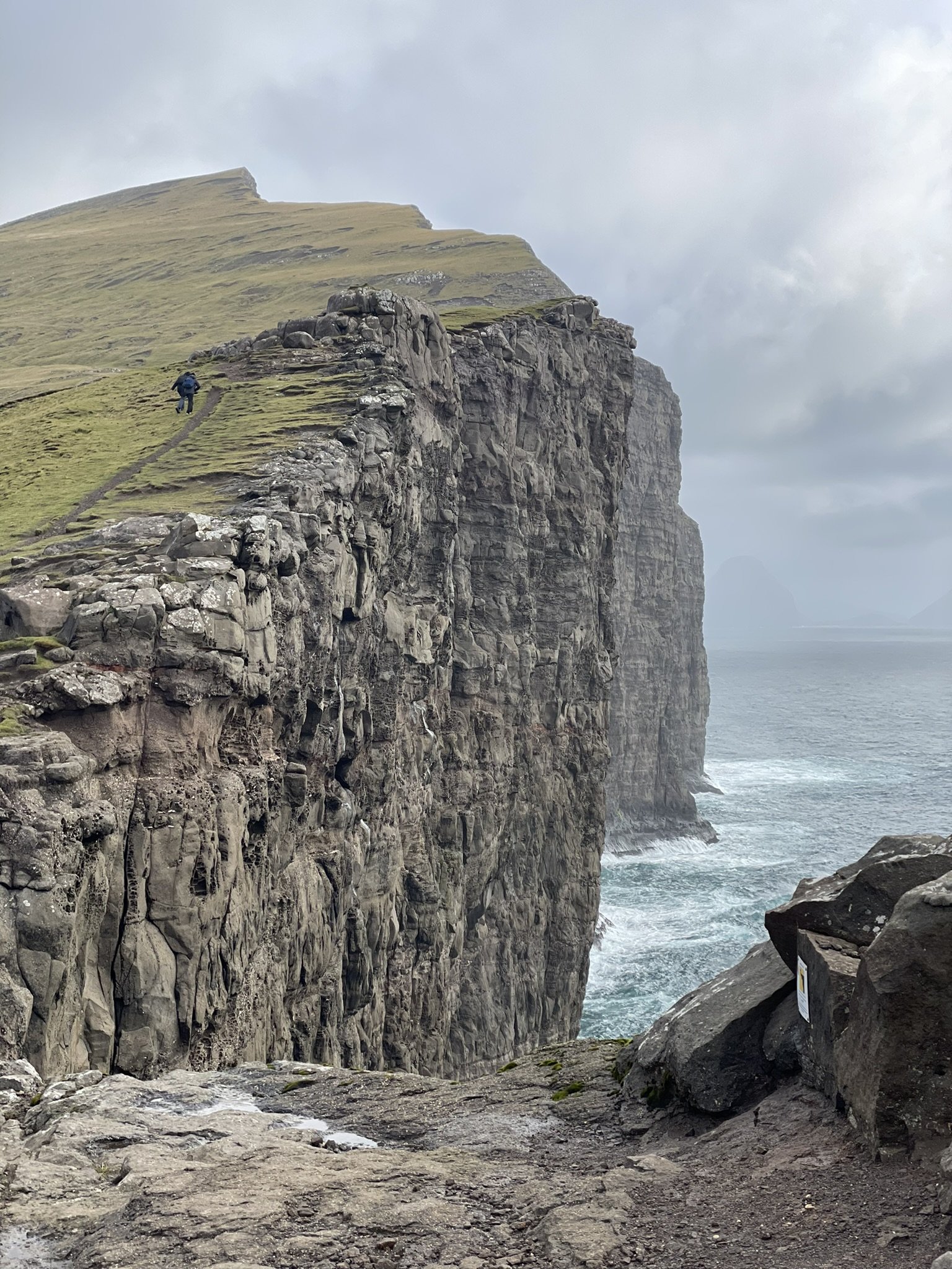
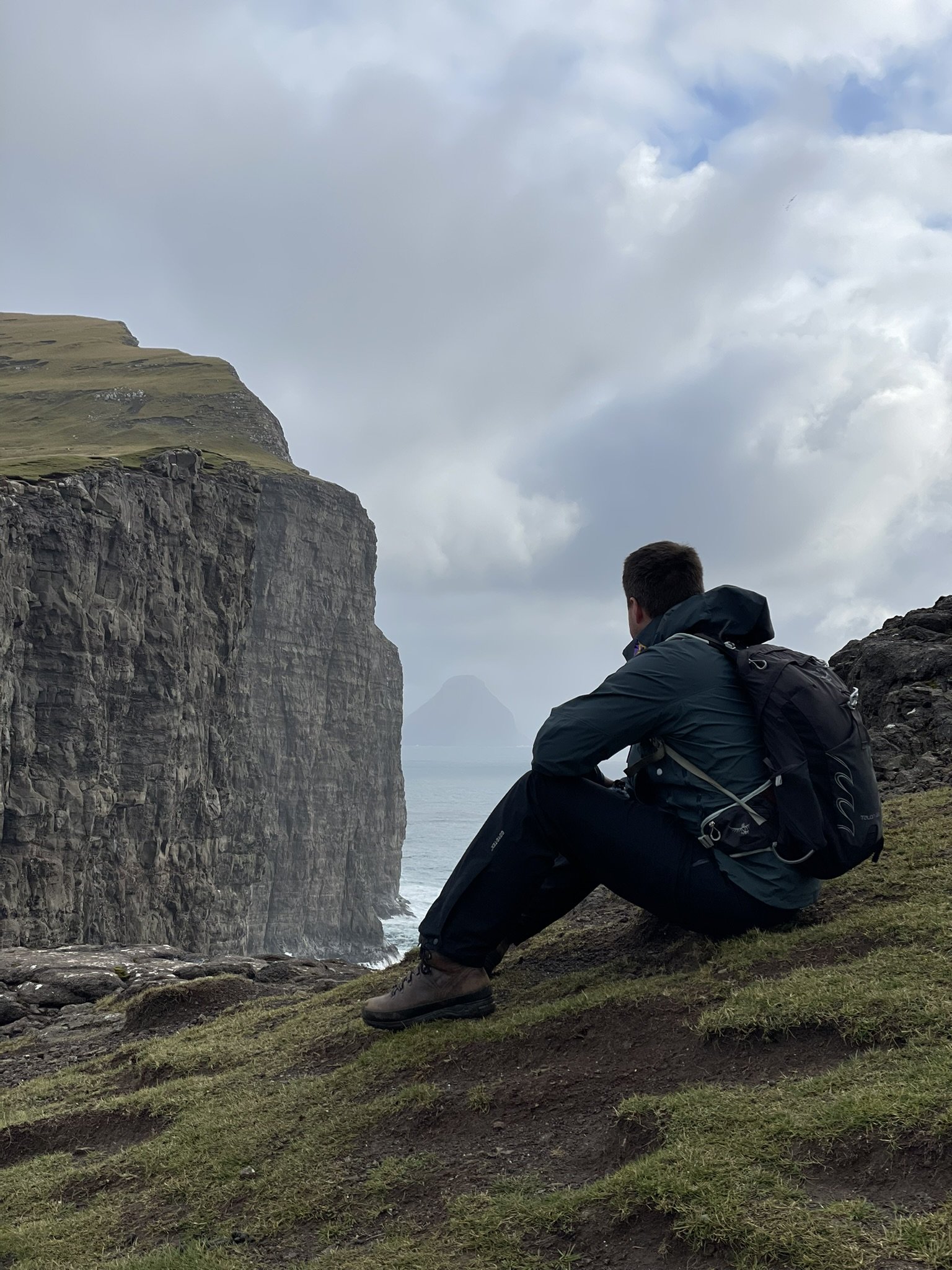
Bøsdalafossur waterfall
Trælanípa and the lake above the ocean are only five minutes away from the airport, with a large area for parking and a small visitor centre serving tea and coffee. The walk costs 250DK per person and took two hours to complete. The terrain was relatively easy, with a good gravel path to the cliffs. The hike leads along the lake Leitisvatn/Sørvágsvatn out to Trælanípa and the Bøsdalafossur waterfall, which dramatically plunges into the sea. This is another favourite place to visit because of the optical illusion that awaits at the end of the hike as the lake appears to hang over the ocean.
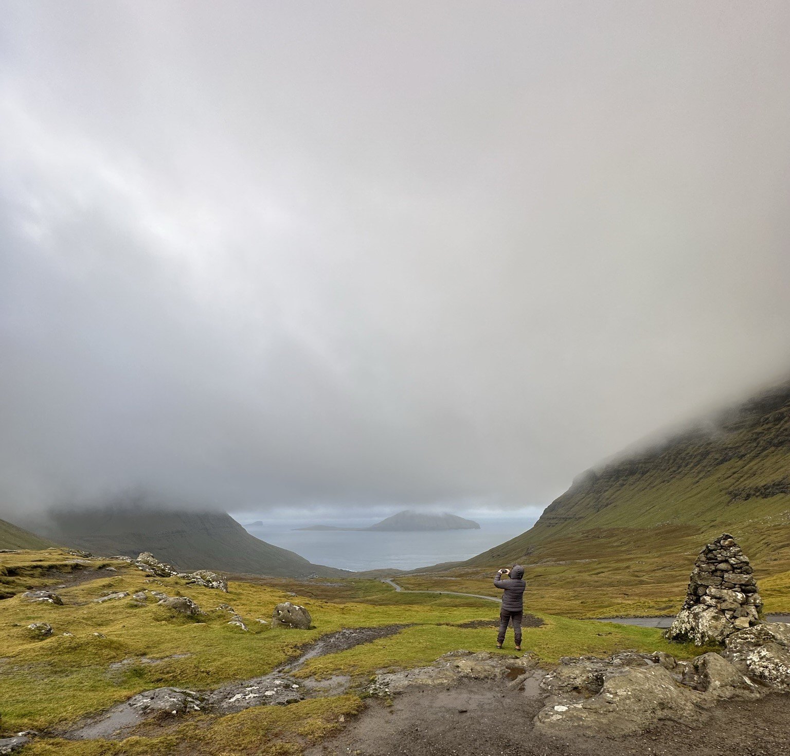
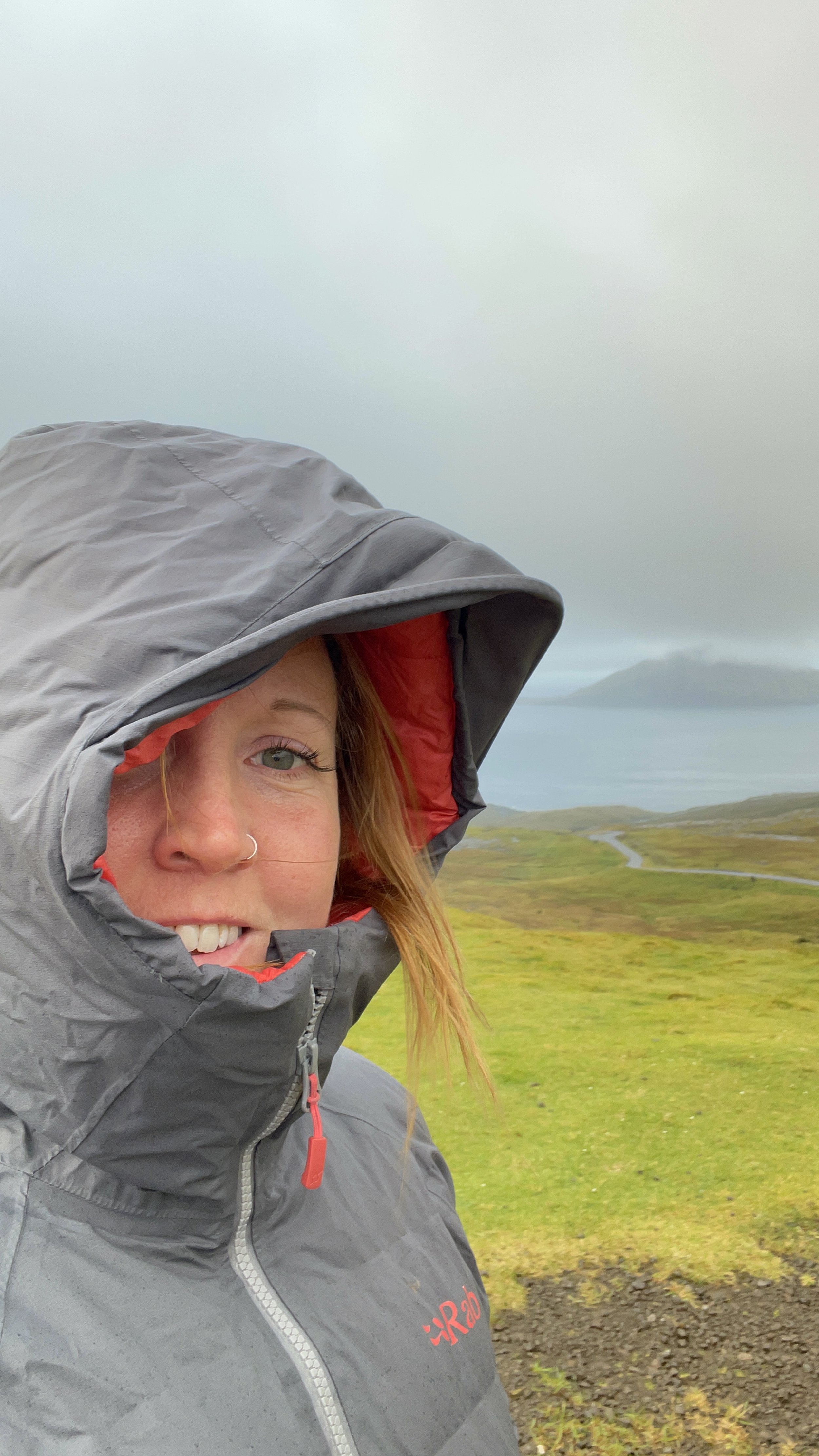
The weather in October was changeable, not particularly cold, but the showers blew in quickly. We were caught out almost every time we stepped out of the car without waterproofs. The weather can change within minutes, leading me to the next tip for visiting …
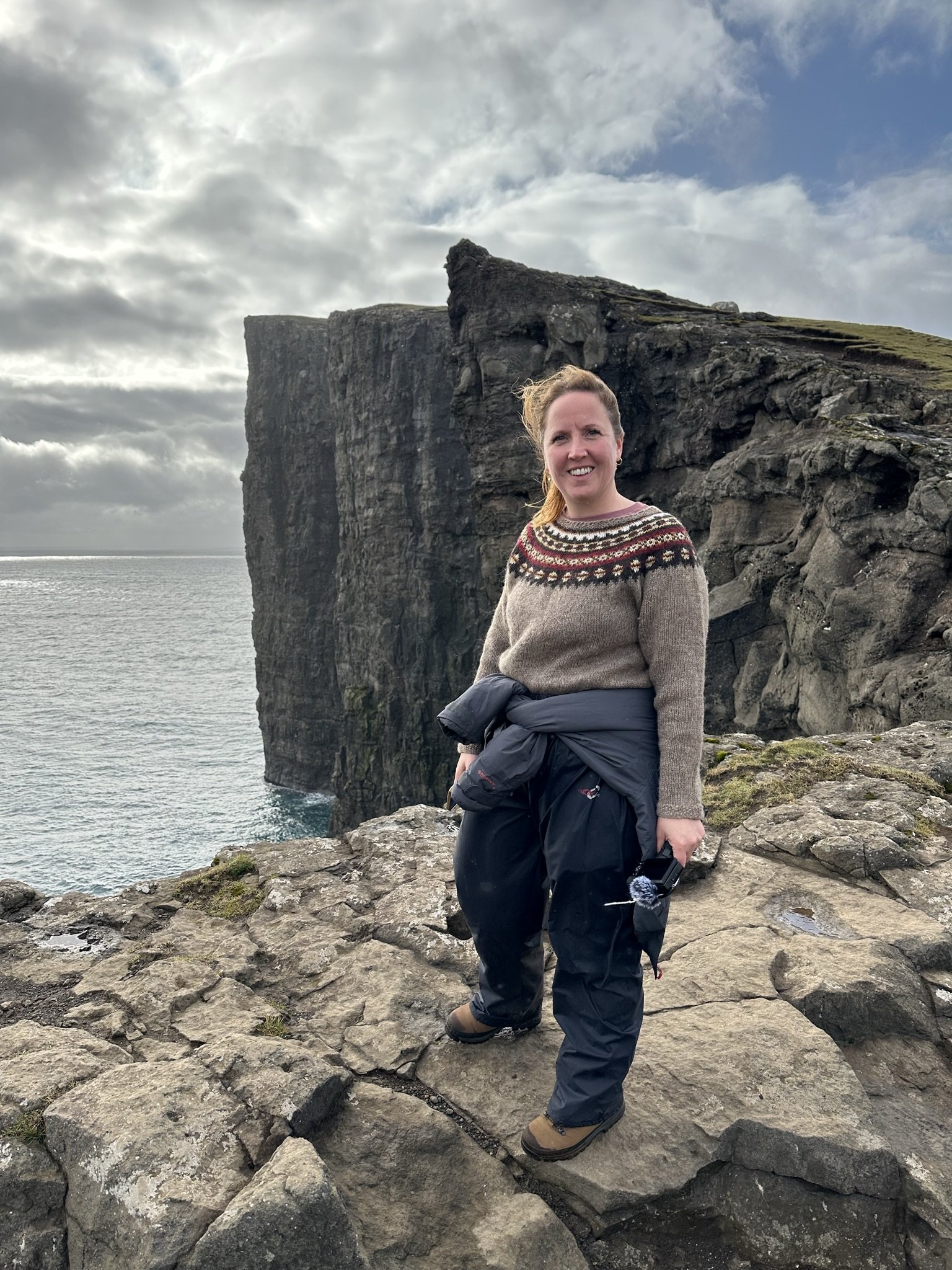
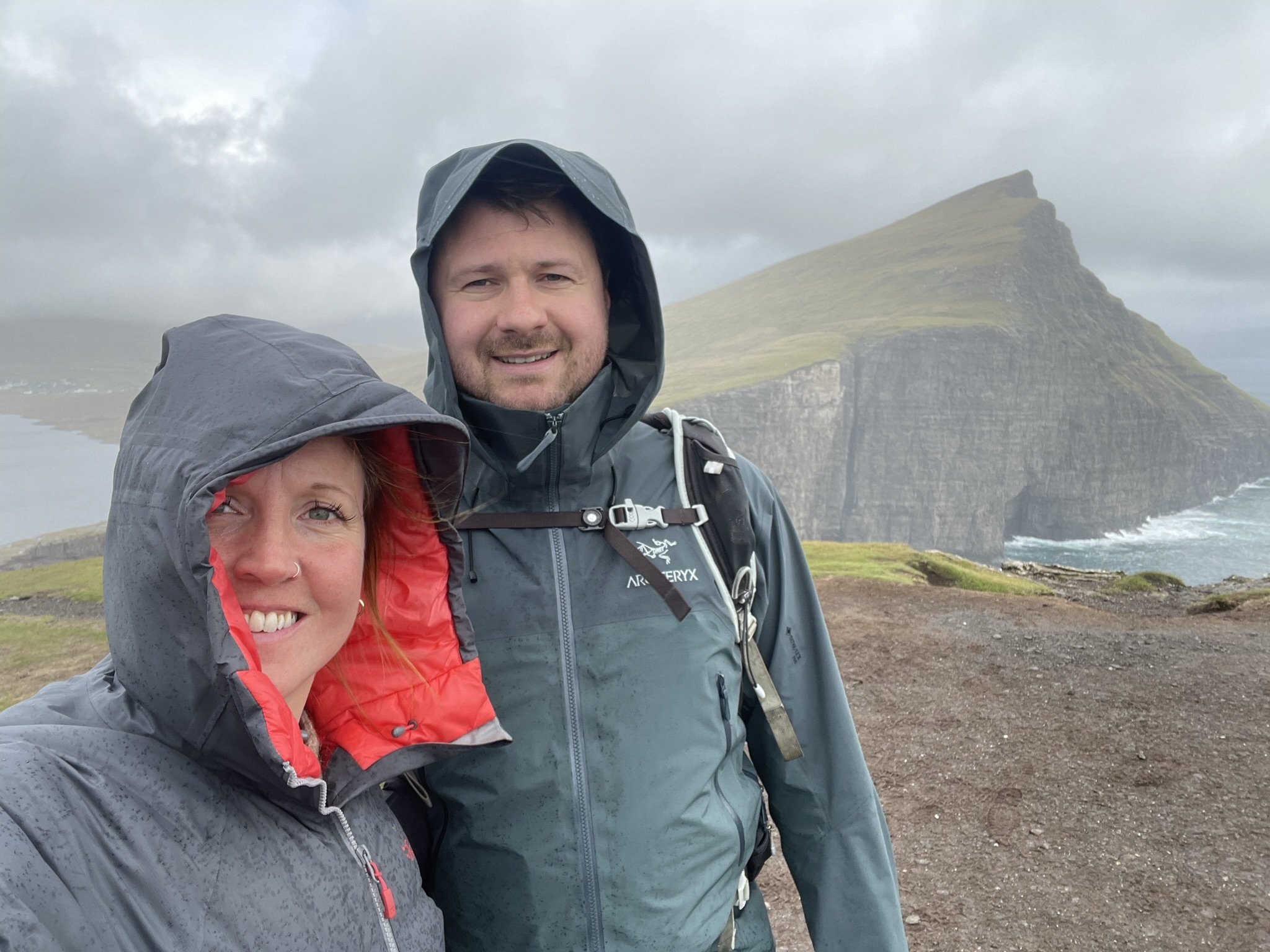
Pack waterproofs – tip 5
The weather is unpredictable at 62° north, and Faroe has more rain than most other places you’ll visit! The climate, like Shetland, is a temperate maritime climate with a narrow temperature range between 3℃ in winter and 11℃ in summer. Similar to Shetland, the highest temperature ever recorded in Faroe was 22℃. Due to Faroe’s position, it often bears the brunt of the Atlantic storms throughout the year, making it an often windy, generally wet climate. December has around 26 wet days, on average, and the driest month, September, has about 12 wet days a month. July and August can expect between 18 and 20 wet days, so waterproofs are necessary all year round, and, as the weather changes so quickly, you’re best to carry them with you, even if the sky appears blue!
After our hike, with mixed sunshine and showers, we got lunch at the local supermarket, ate a picnic in the car and watched the boats at work in the bay filled with salmon cages. Aquaculture is a big part of the local economy, with farmed salmon representing half of the country’s export value and providing valuable jobs for communities around the islands.
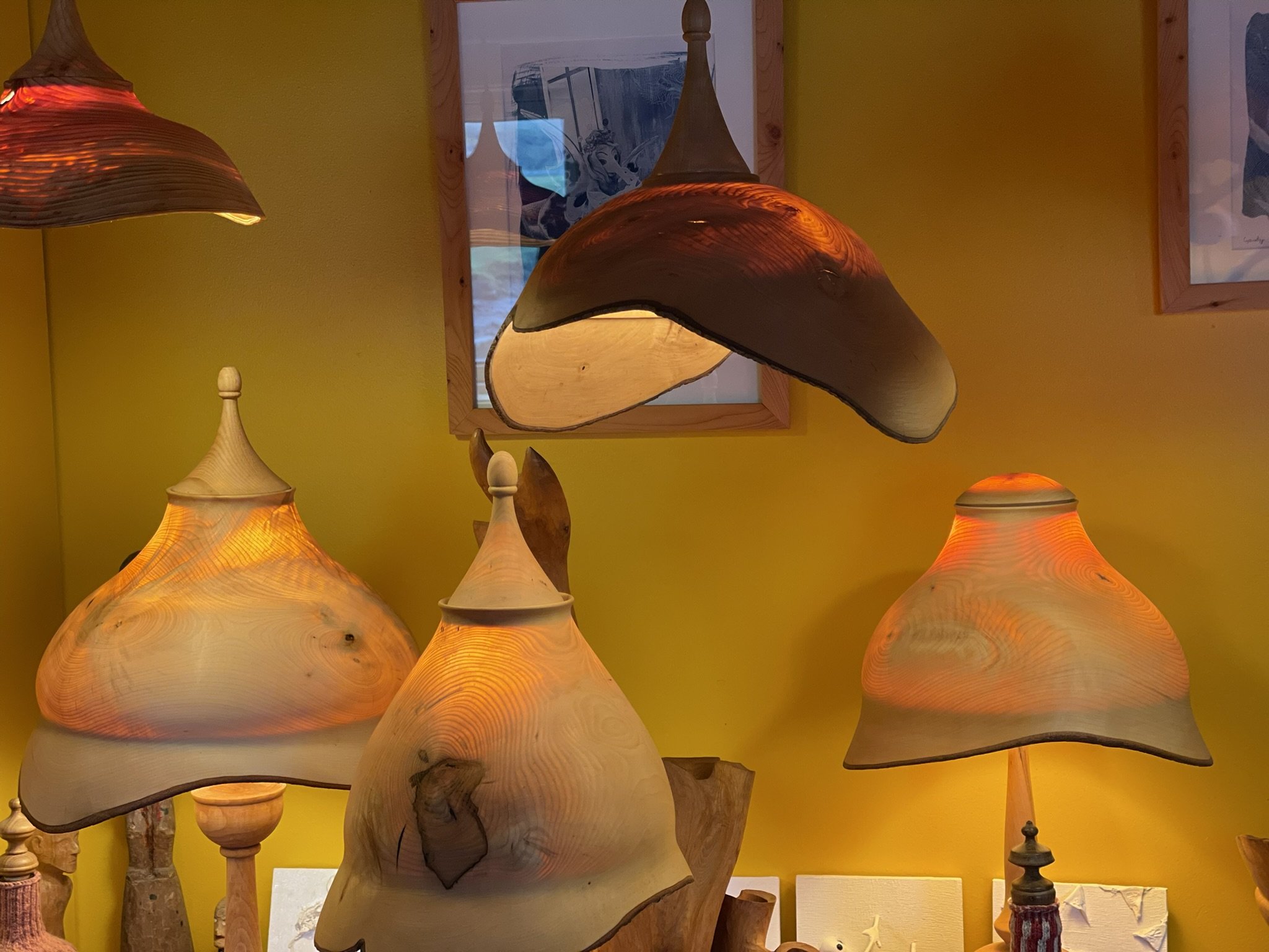
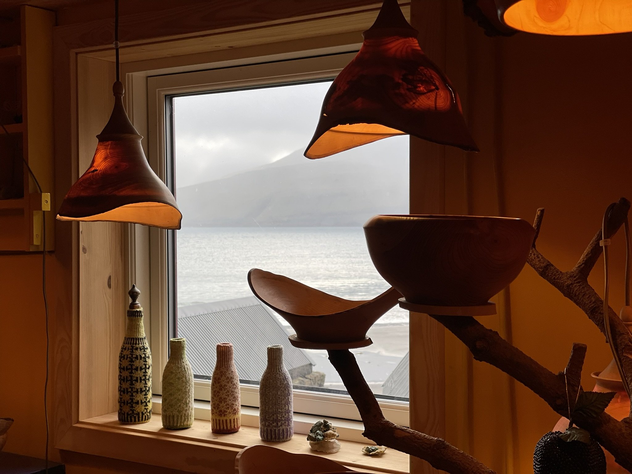
On the way back to Tórshavn, we visited Leynasandur, where we met the wood artist who has a beautiful house and workshop right by the road overlooking the beach. He makes gorgeous lamps from wood from Faroese trees and has a hobbit hole in his backyard.
In the evening, we ate at Katrina Christiansen in the heart of old Tórshavn, dating back to the 1700s. Originally a shop, it has been home to writers and artists over the years and is a very atmospheric setting. Many of the building’s original features and ‘artefacts’ were saved and now add to the ambience of this beautiful restaurant, which serves exquisite food.
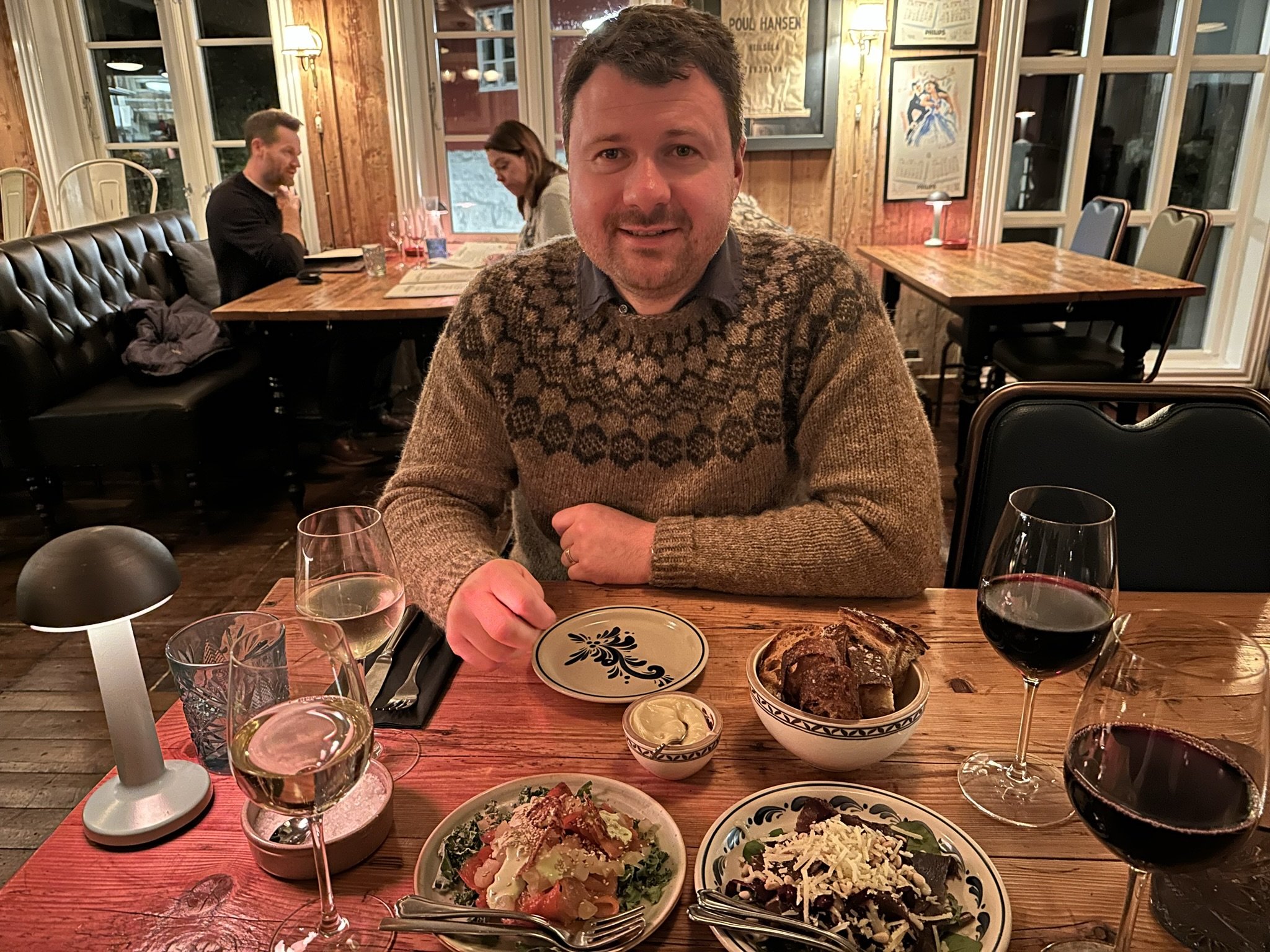
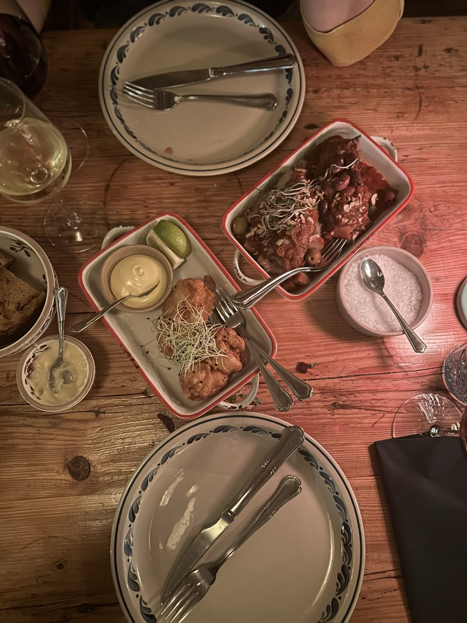
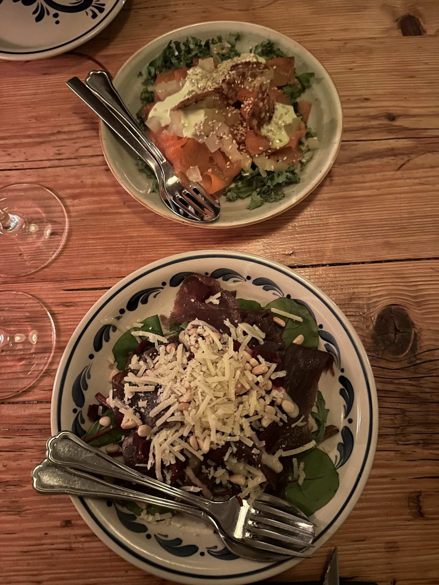
“It is a privilege to be serving our guests in this atmospheric setting. With its rich detail, this is as much a museum as a restaurant. We have tried to preserve everything in as close to its original condition as possible.”
Day three
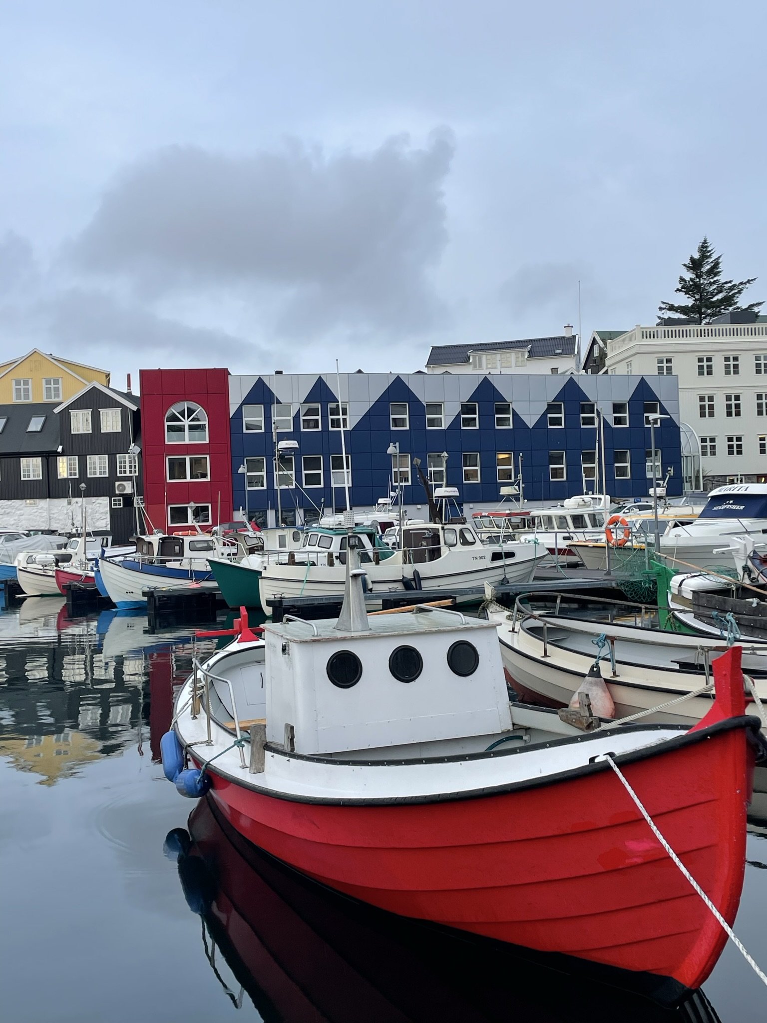
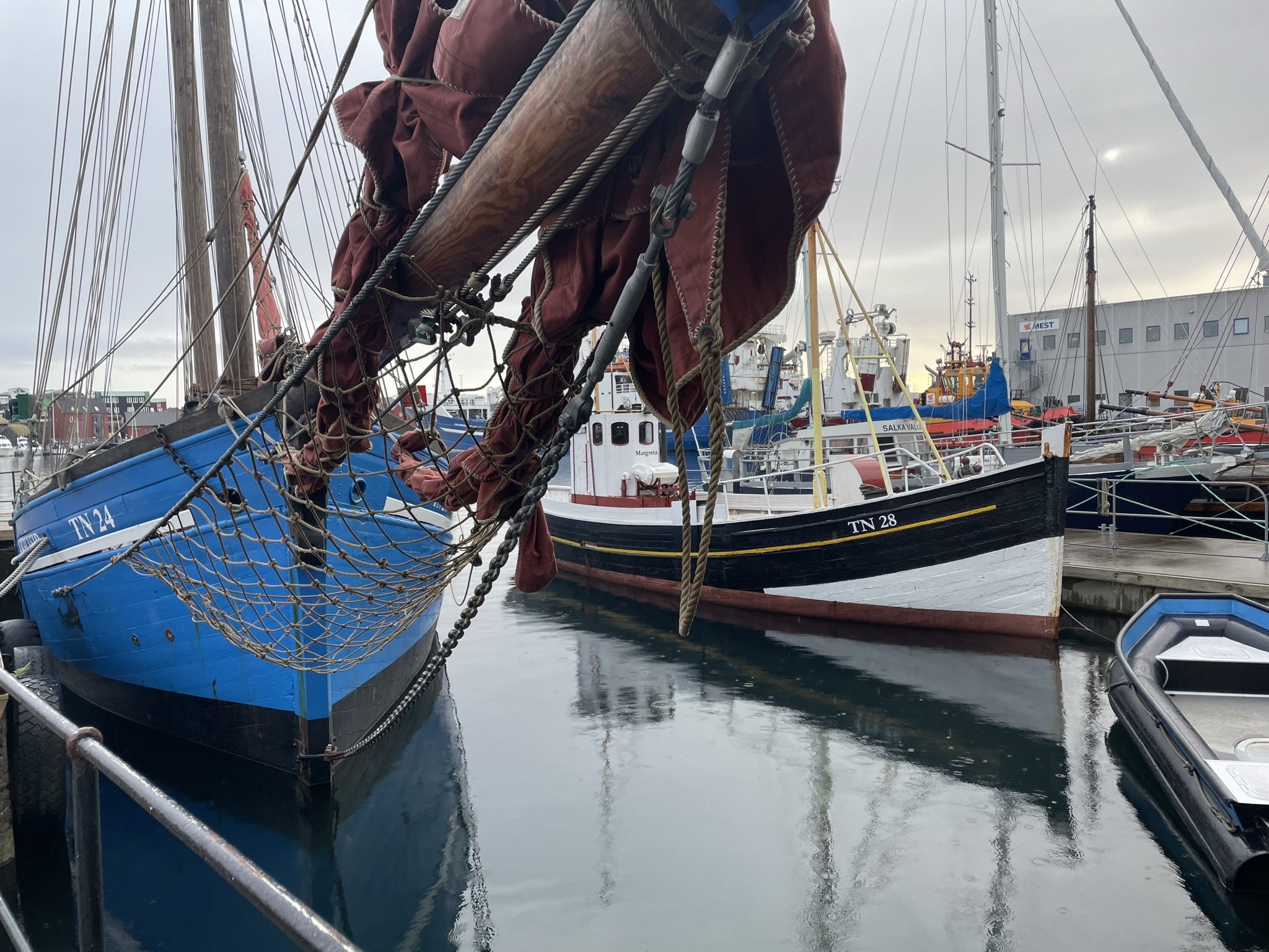
We made our way early into Tórshavn in the morning, excited to shop – only to discover that everything was shut at 9 am. Instead, we wandered around the harbour. Tórshavn is a beautiful town which embraces its maritime heritage, with a marina dominating the town centre. Hundreds of small, inshore boats berth in the quiet harbour, with many spluttering into life as fishermen prepared to head out to sea. Further out, the larger pelagic boats were berthed at the docks on the approaches to Tórshavn, and a busy shipyard was carrying out repairs on another large trawler. Several historic wooden boats lay gracefully moored in the harbour, well maintained and obviously cared for, reminding me of the sad fate of many of our wooden fishing boats.
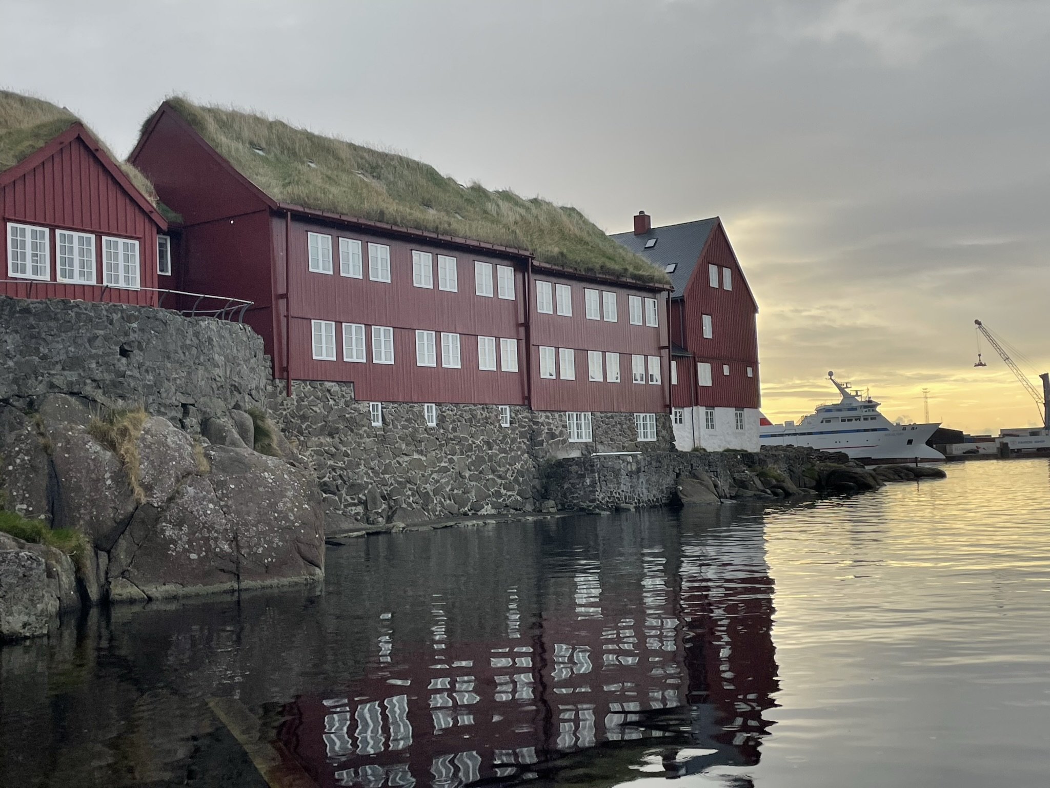

We wandered around Tinganes, one of the oldest parliamentary meeting places in the world, where a collection of brightly coloured wooden buildings with turf roofs, set on the water’s edge, serve the Faroese people and carry out the governance of the islands. Faroe is part of Denmark, but they enjoy a great deal of autonomy and home rule, meaning they can control their economy and the people’s priorities. As a result, Faroe feels like it has a good economy and that the home industries are well-served by lawmakers. As an islander, it’s hard not to feel that political fire rise in your belly as you see how much home rule benefits the islands here. On the other hand, Shetland often feels forgotten by the powers of Holyrood and Westminster.
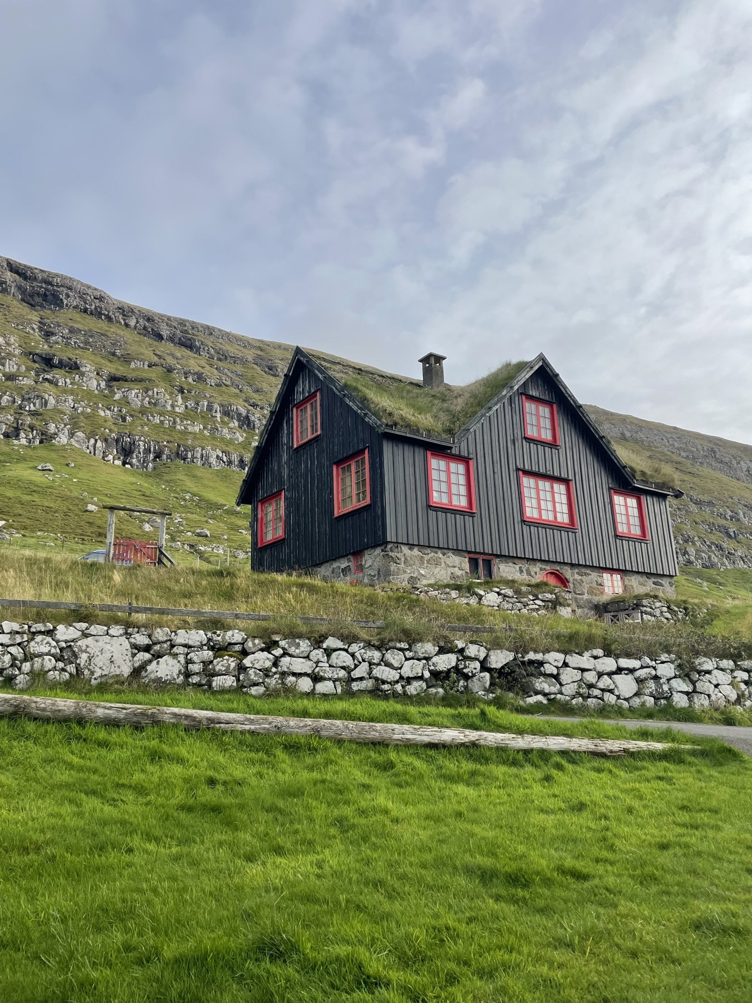
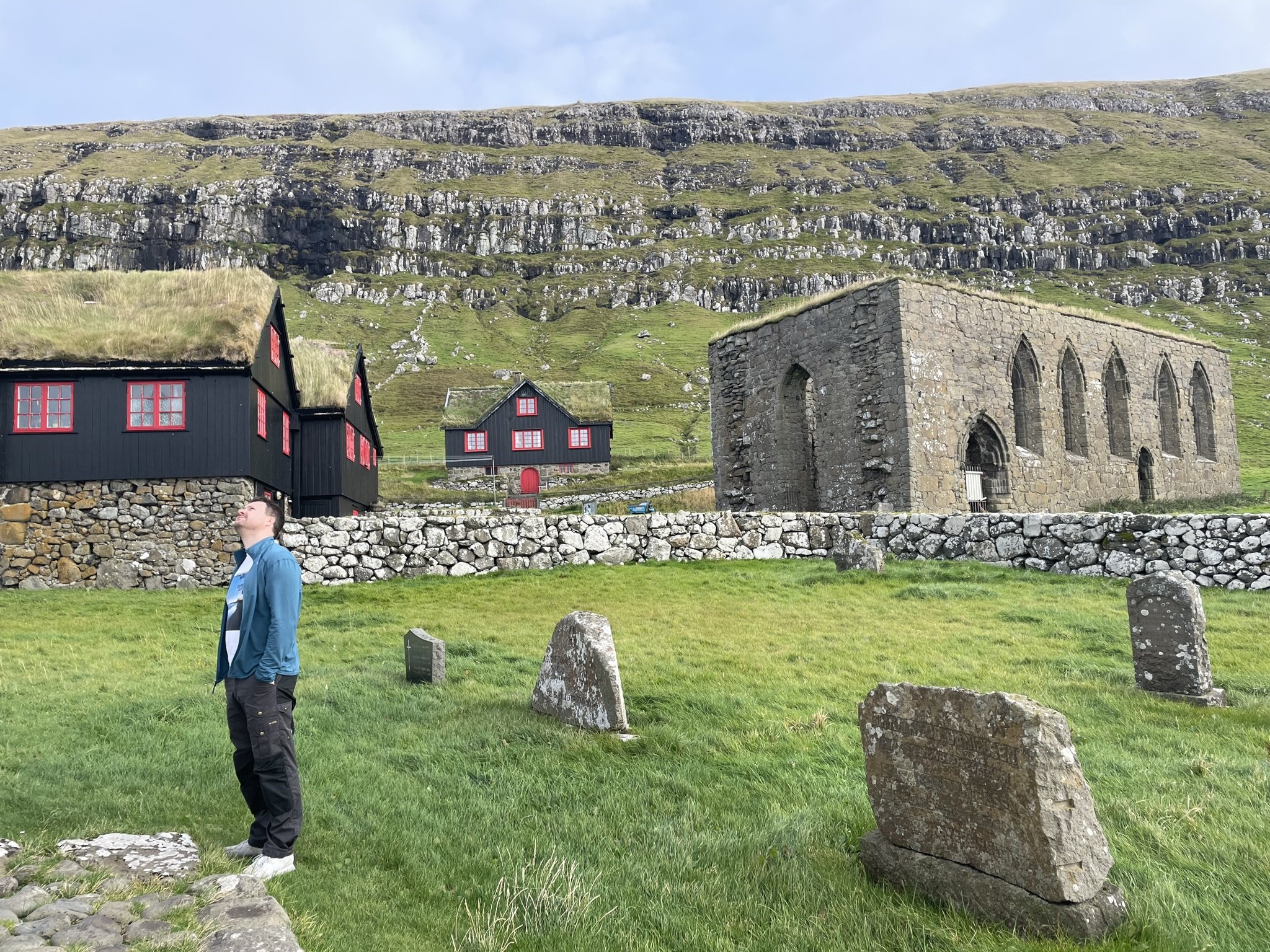
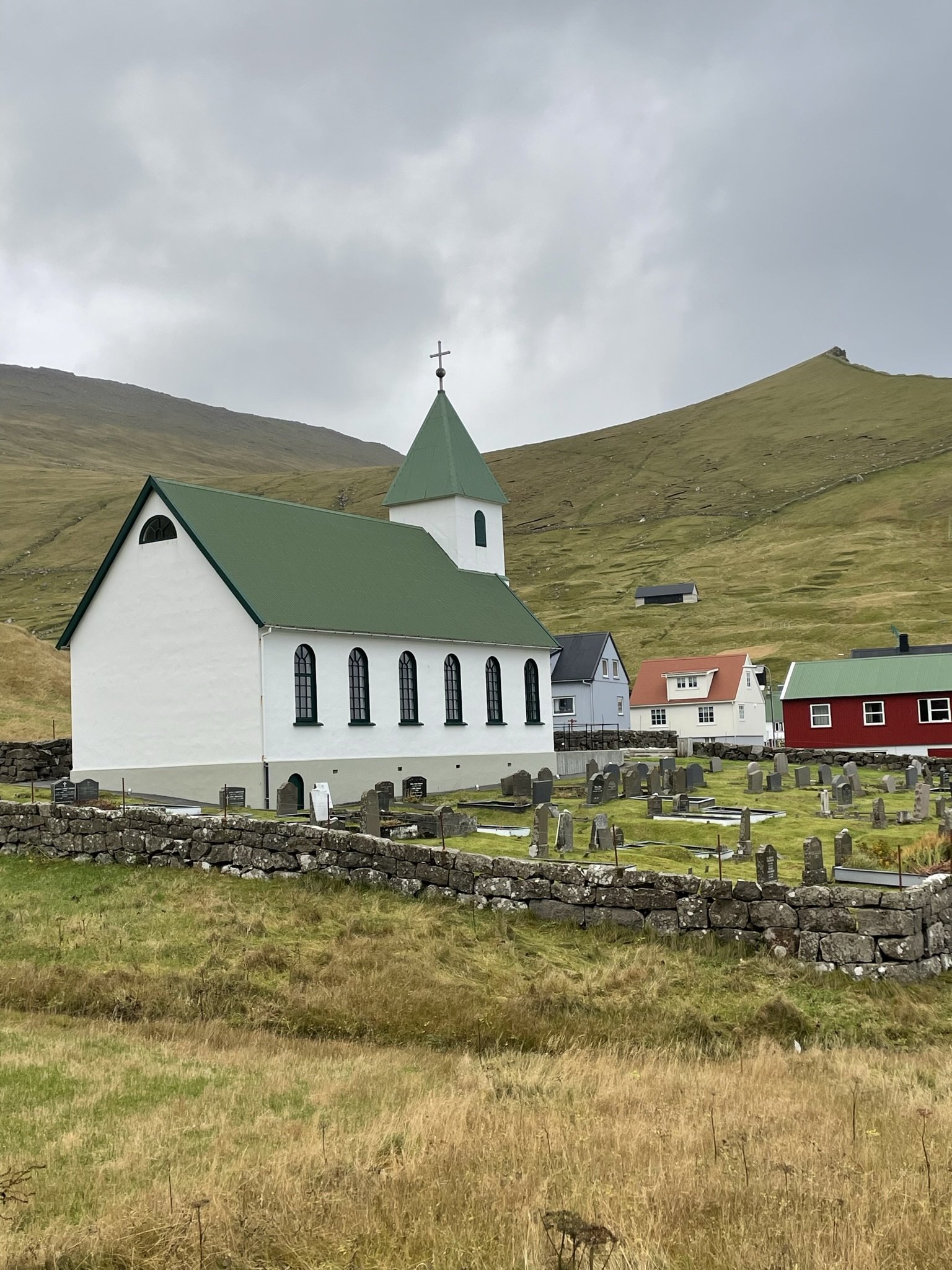
We then drove out to Kirkjubøur to see the Cathedral. Kirkjubøur is a beautiful community, set at the foot of a steep fjord, where the turf-roofed houses sit nestled on the water’s edge, looking out to sea.
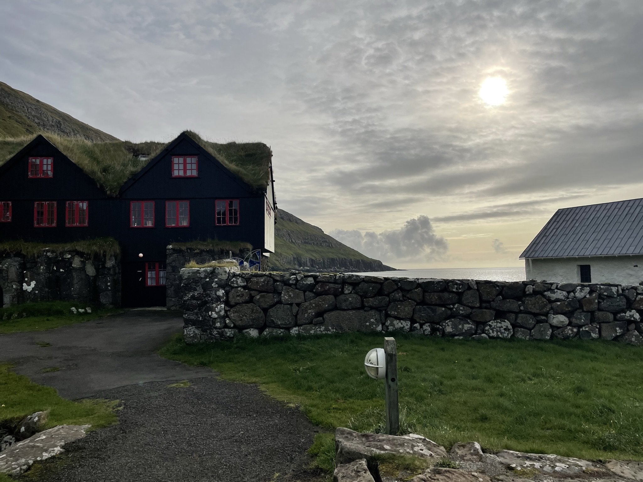
From Kirkjubøur, we set off again towards Eysturoy, passing through the new subsea tunnel, and towards Æðuvík where we were meeting Harriet for a home dining lunch experience and a tour of her sheep farm.
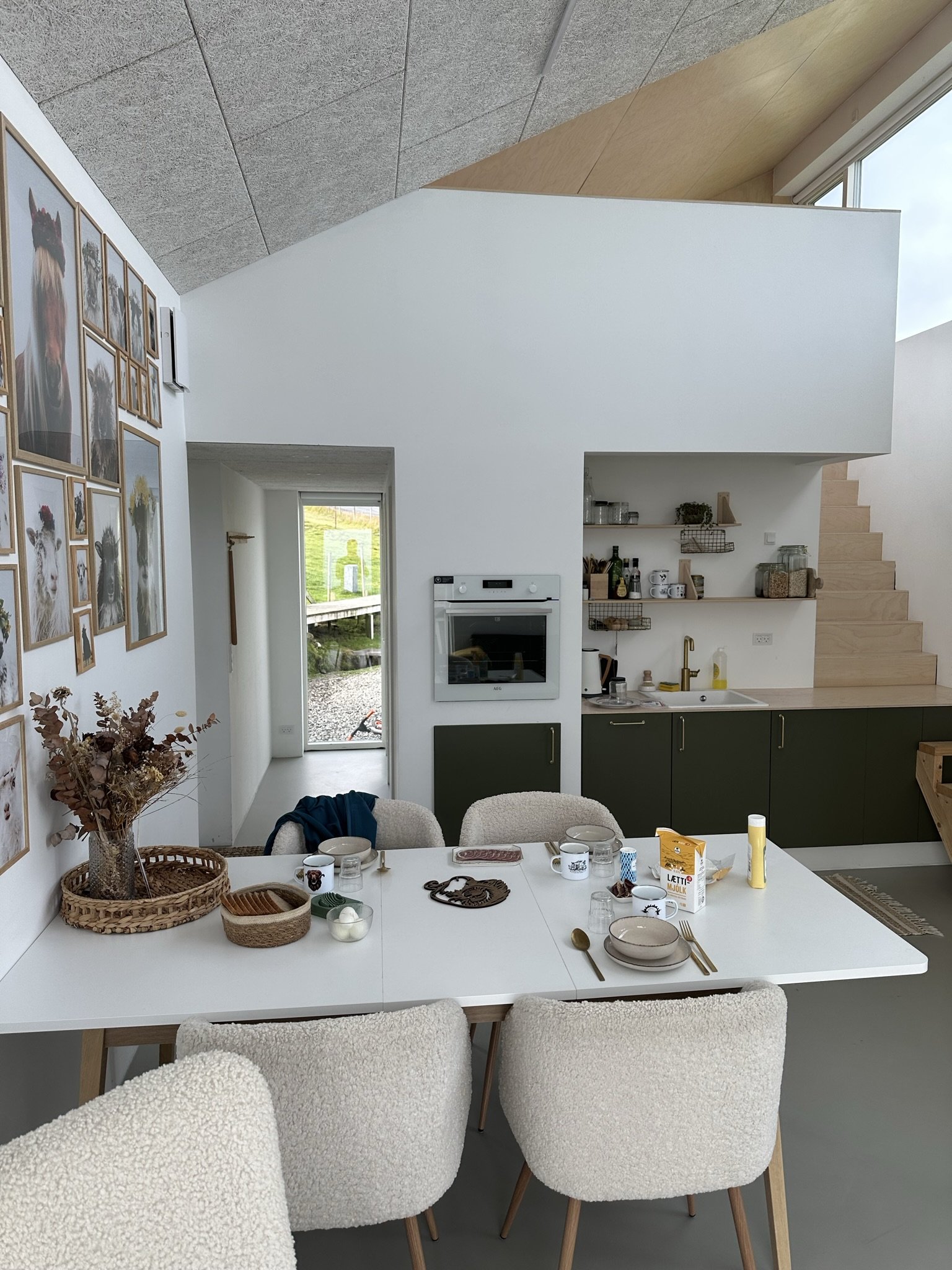
Have a home dining experience – tip 6
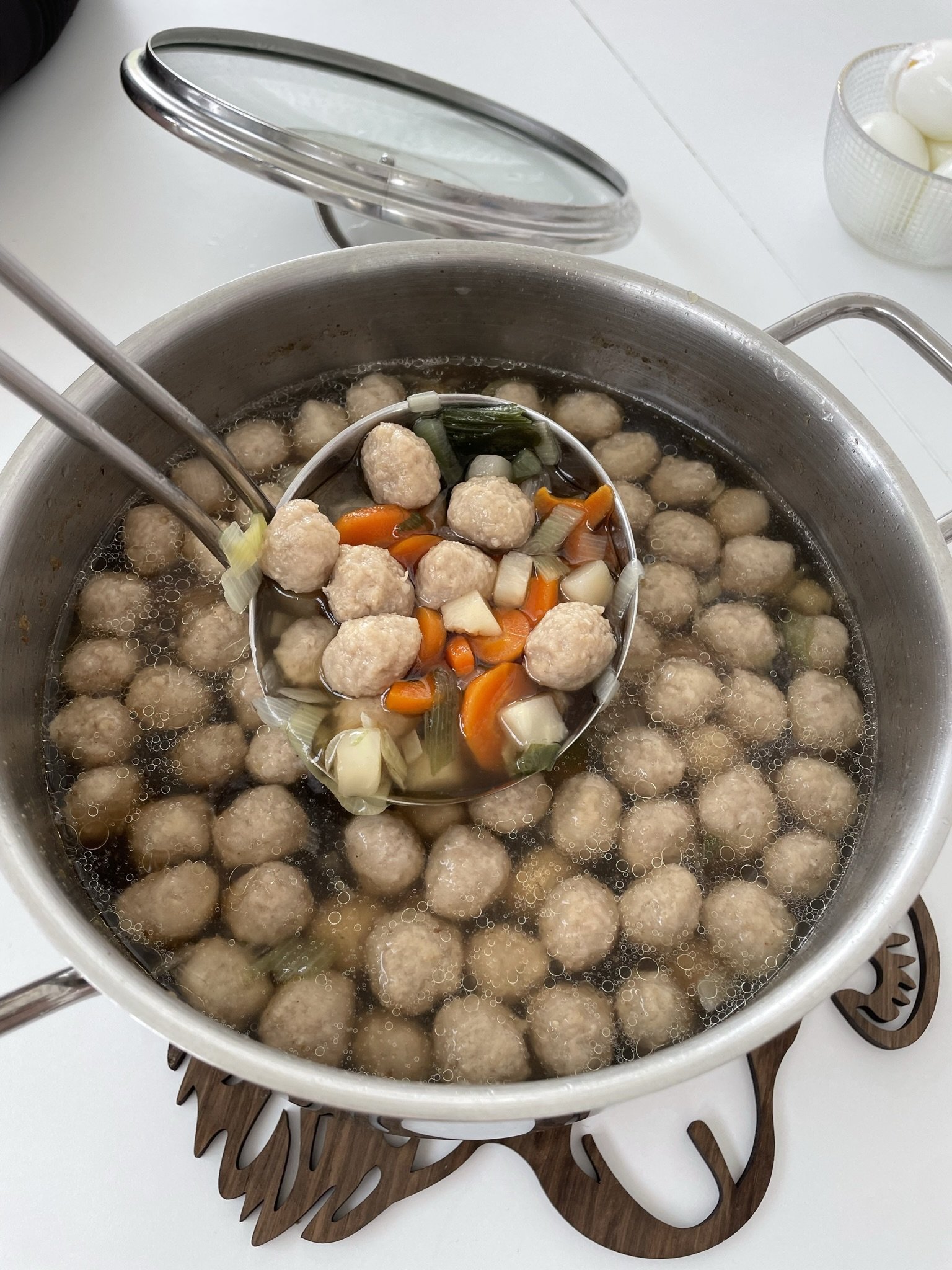
Home dining is a relatively new concept which involves eating lunch in someone’s home with their family. This is what we did with Harriet in her home, Hanusarstova. Home dining is a fantastic way to get under the skin of a community, and I learnt so much from Harriet as we broke bread together and she introduced me to the most amazing Faroese soup – a meatball-filled broth, which was oh-so-moreish! There aren’t many restaurants outside Tórshavn, but many people advertise their homes as places where people can go to eat, and it truly was a memorable experience.
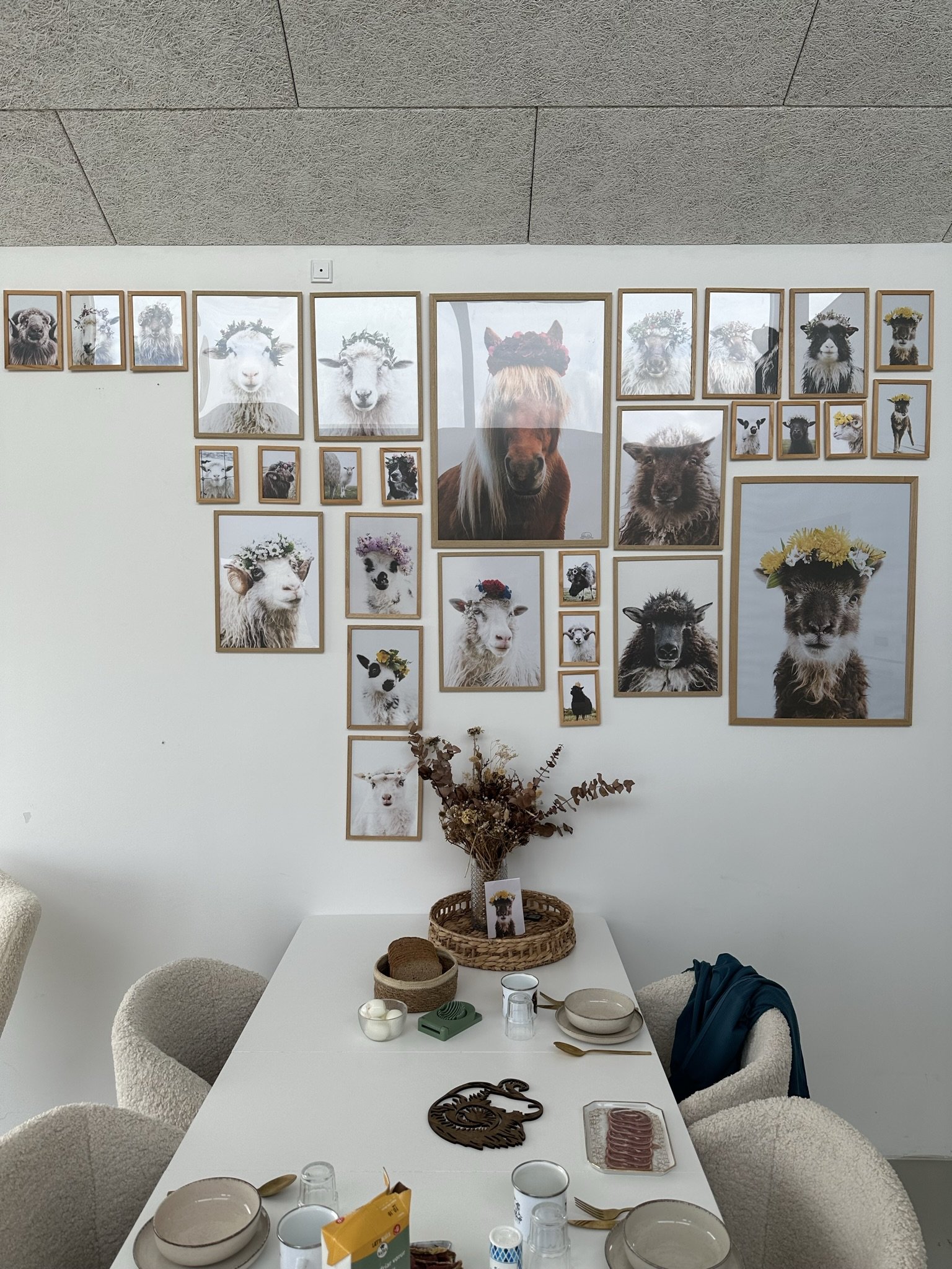
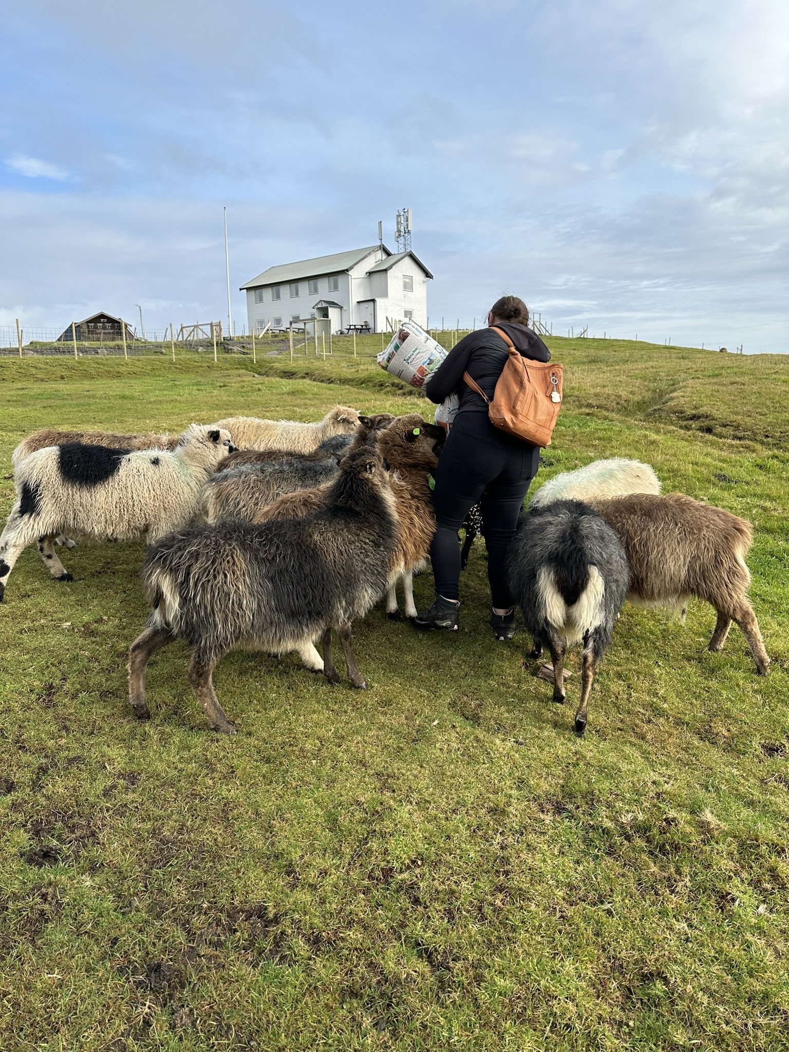
Harriet began by showing us around her farm. She has been running it with her husband and two young children for five years, and her passion and enthusiasm were contagious. As we walked through the small community of Æðuvík, she pointed out her family’s houses and told us what it was like growing up in Eysturoy. We visited her Faroese horses, a breed under threat, with only 89 remaining in the world. Harriet was keen to continue the breed into the future but worried about the low numbers. Like Shetland ponies, they’re a small and hardy breed kept outside all year round and adapted to the harsh climate and landscape of the Faroe Islands.

Faroese horses
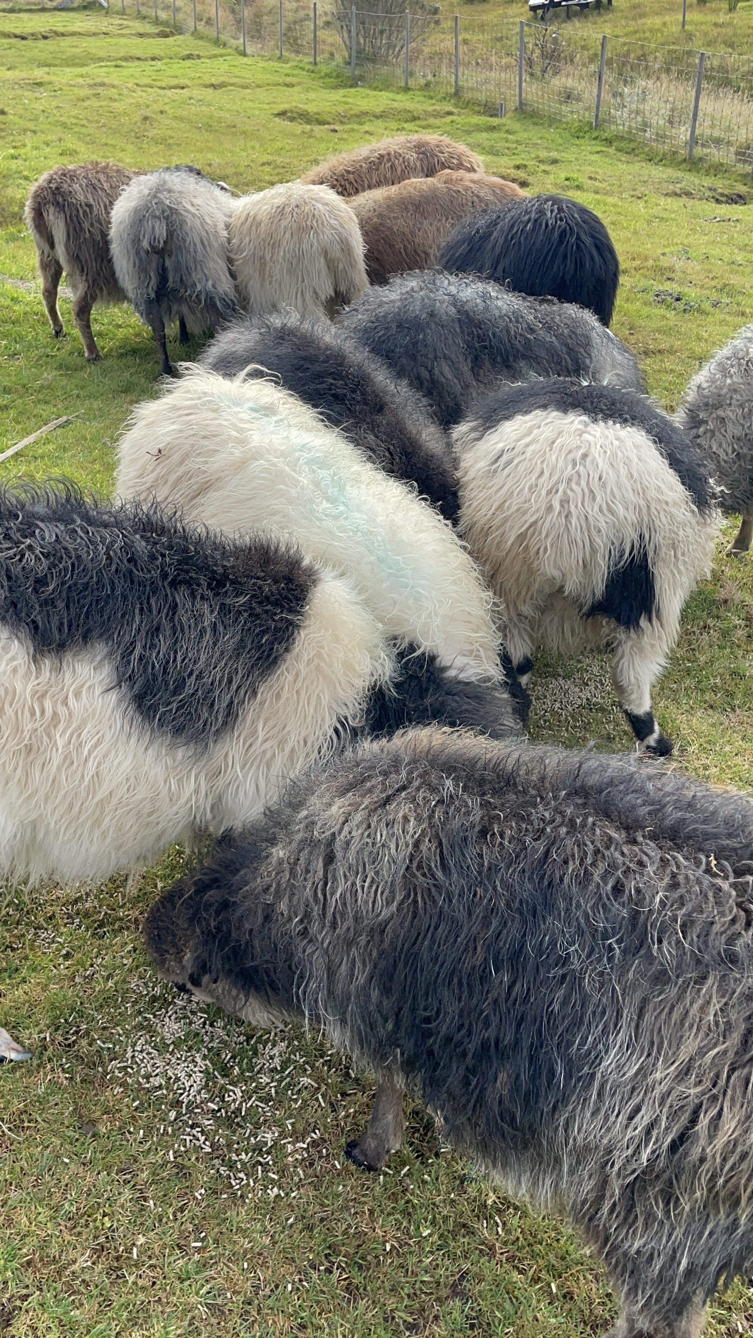
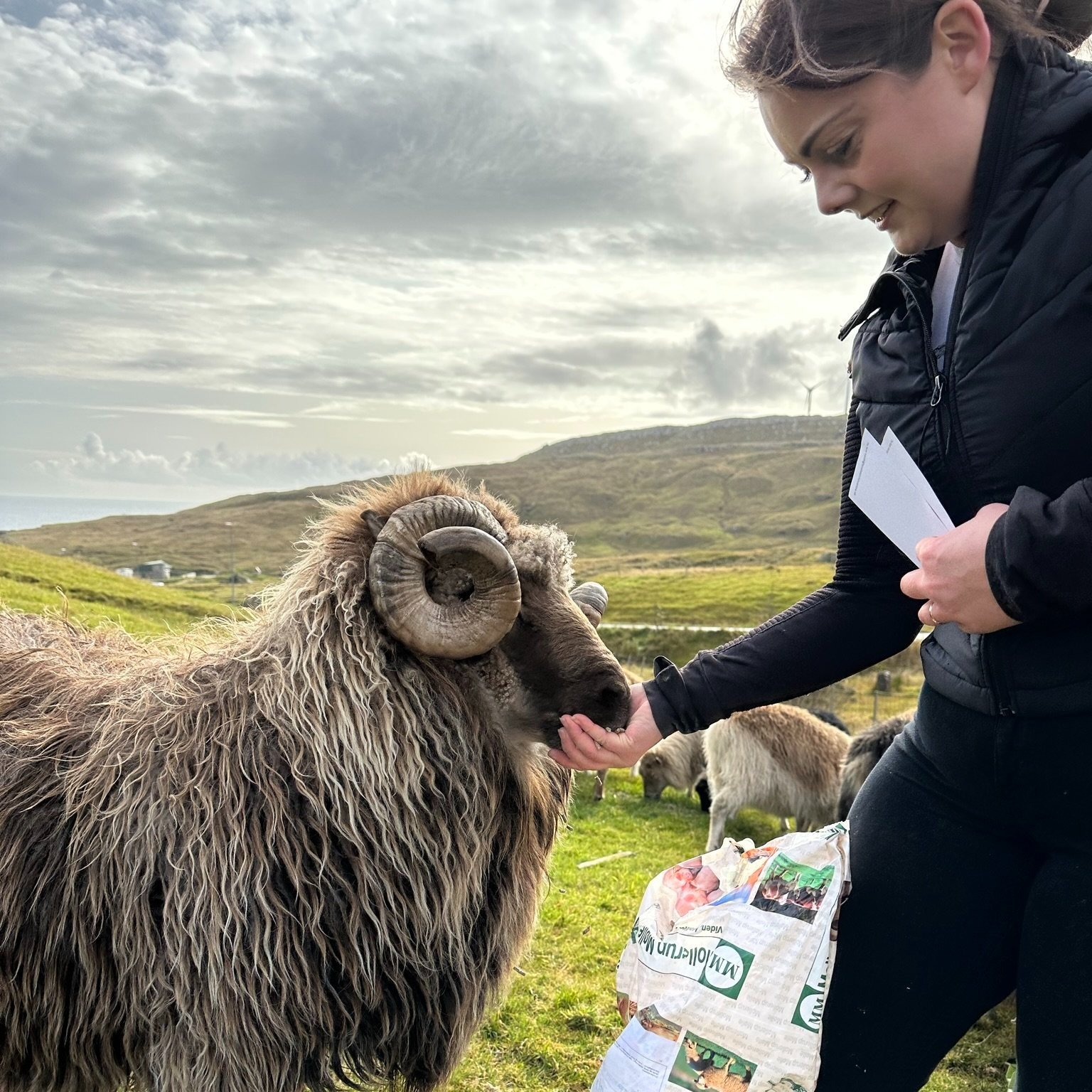
After the horses, she took us to meet her flock of sheep, which had been gathered in the barn as it was ‘gathering time’ in the islands, where the lambs were separated from their mothers. Faroese sheep, like the horses, are a hardy breed which grow a very long coat in the winter and come in all different colours. Harriet explained that she was keen to breed more of the brown sheep as those were the most endangered colour in the islands today. We then went out into the fields to feed them – including her ‘pet’ ram, which has become an absolute favourite on her Instagram page @hanusarstova.
For anyone looking for accommodation, Harriet also has a beautiful self-contained AirBnB, which is outstandingly beautiful – and only 15 minutes from Tórshavn.
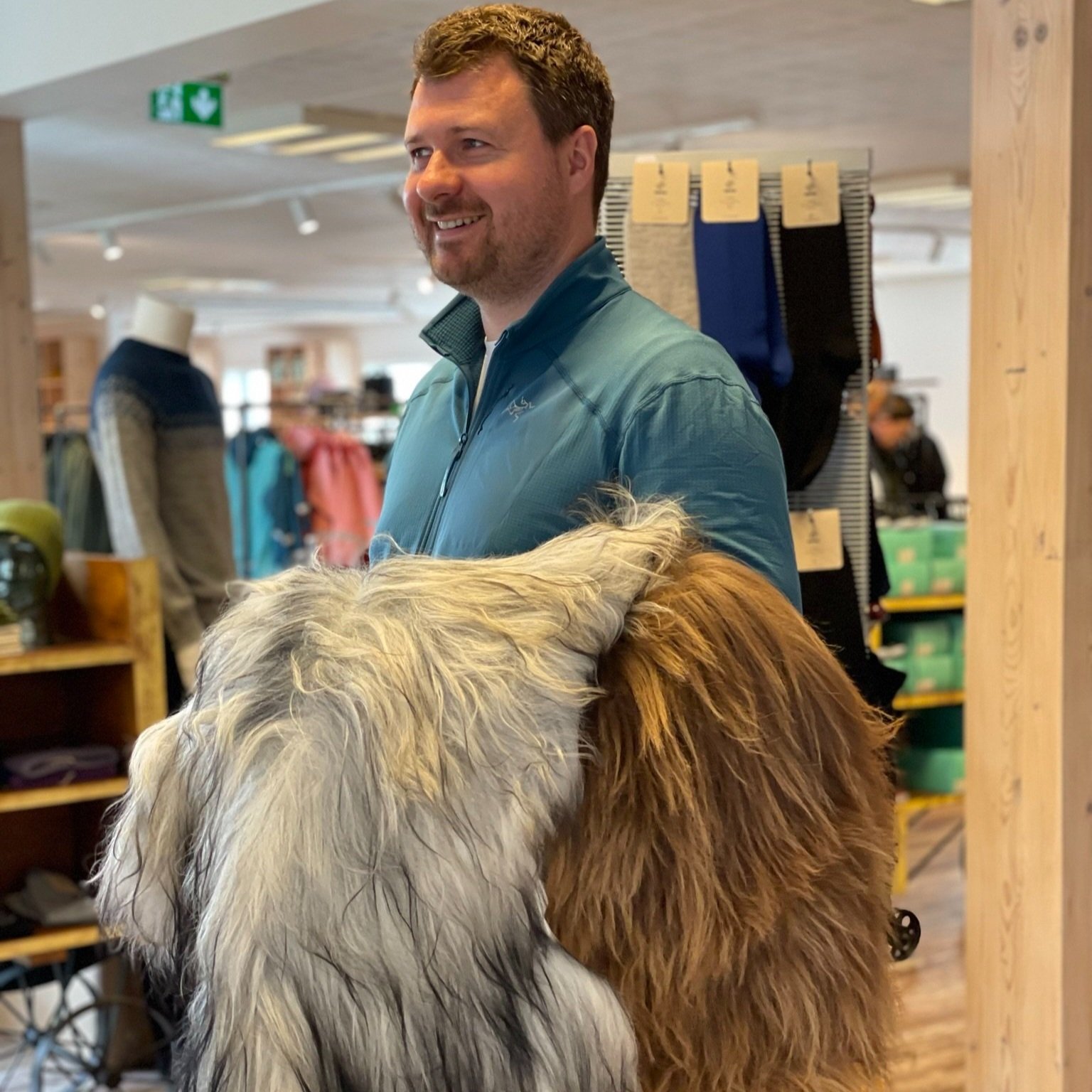
After lunch, we hit the road again and made our way to Toftir, where we were looking to shop at Navia. Navia is a knitwear and yarn shop with a fantastic selection of jumpers, sheepskins, yarns, patterns, outdoor clothing and souvenirs.
“As the old saying goes, necessity is the mother of invention – or as the Faroese say, necessity teaches the naked woman to spin and weave”
We bought a couple of sheepskins because the fleeces are so long, and they make incredibly sumptuous rugs and some yarn for mother to work her magic on. Across its varied catalogue, the Navia yarn contains a wool mix of Australian lambswool, Shetland and Faroese wool, as well as cotton and silk, making up a broad range of 1-ply, 2-ply and 3-ply knitting yarns, sock yarn and raw traditional Faroese yarn. The Navia sweaters similarly take inspiration from the traditional Faroese knitting culture, mixed with modern style trends.
Tip 7 – buy some knitwear
For over 1,000 years, the Faroese have survived in an inhospitable climate in the heart of the wild North Atlantic Ocean. This has made the Faroese experts at utilising the natural resources at their disposal. With sheep outnumbering people, their fleeces have proved a useful commodity over the years in the fight for survival against the cold and damp climate. At Navia, traditional meets contemporary, and style meets practicality to give some beautiful knitwear.
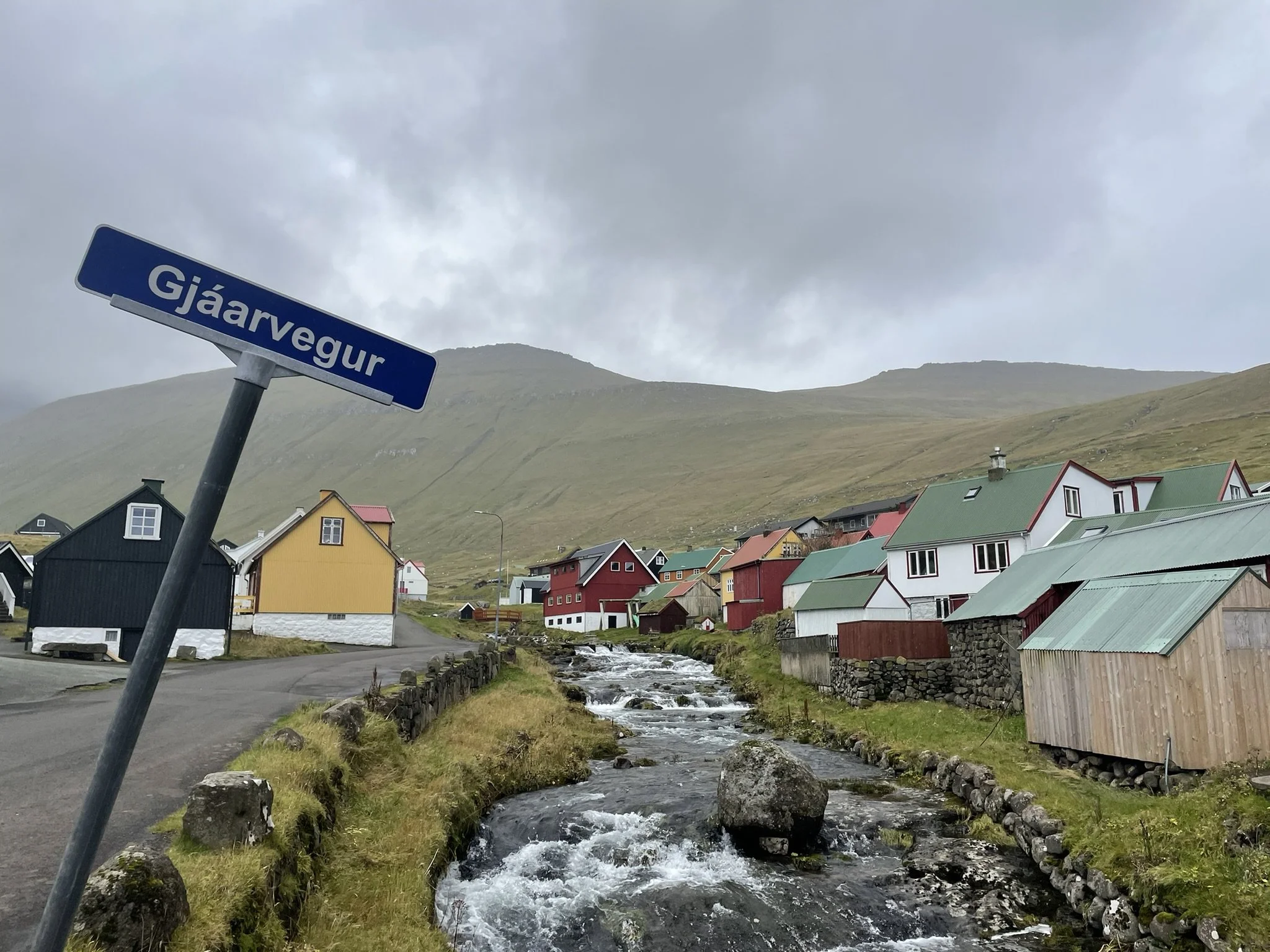
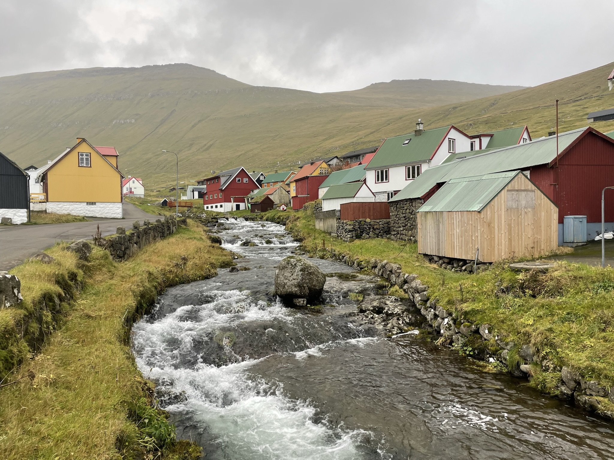
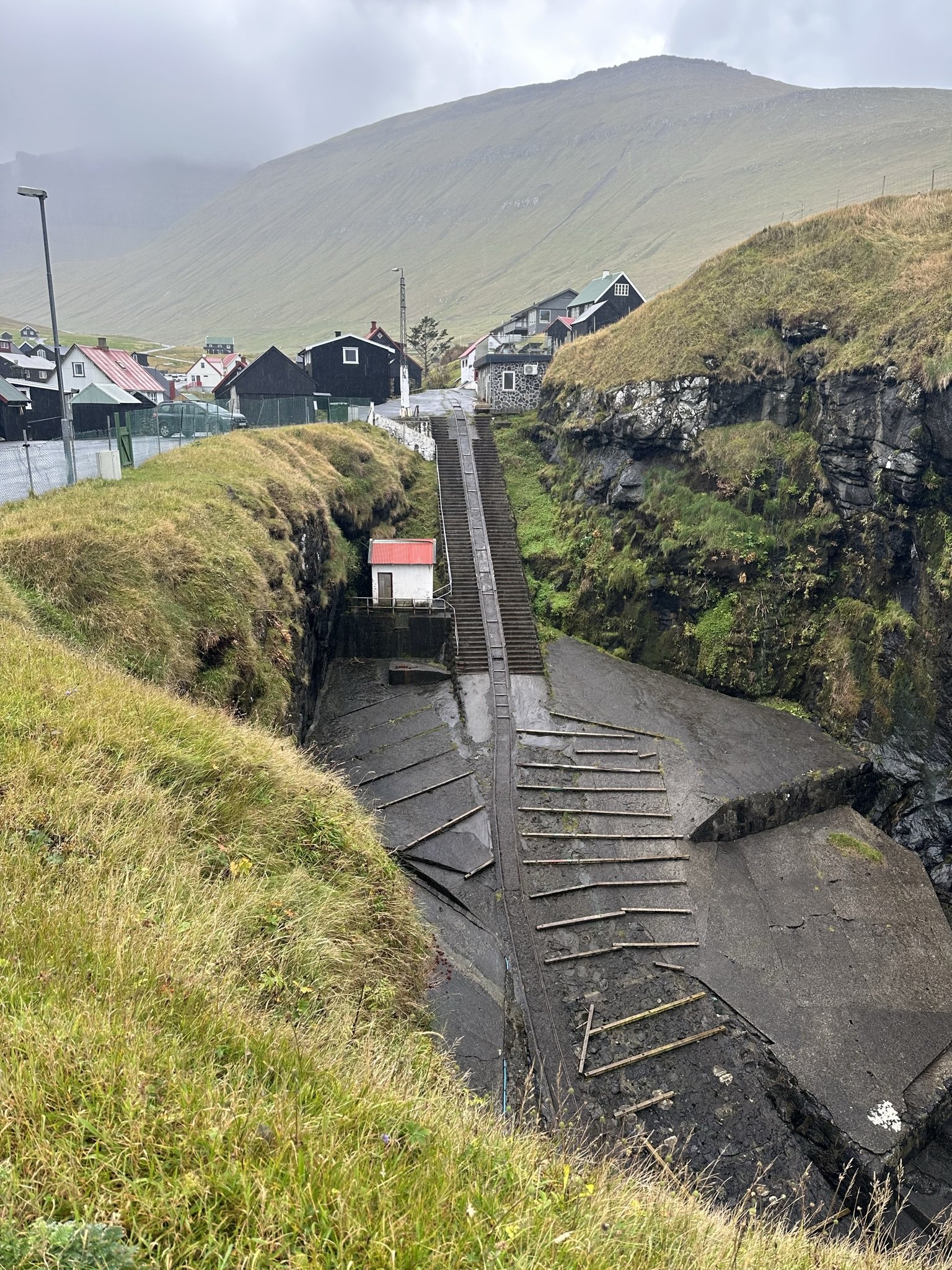
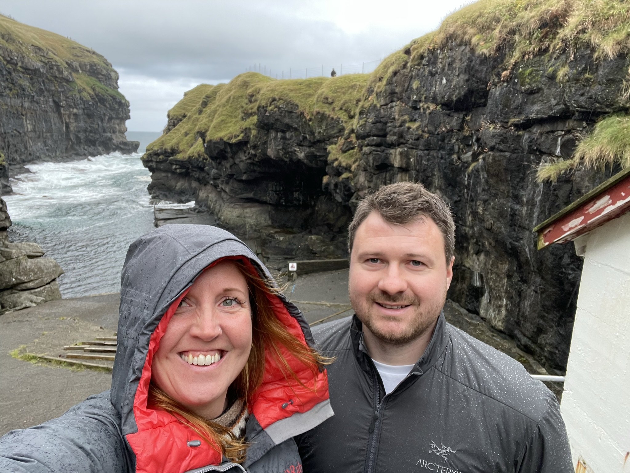
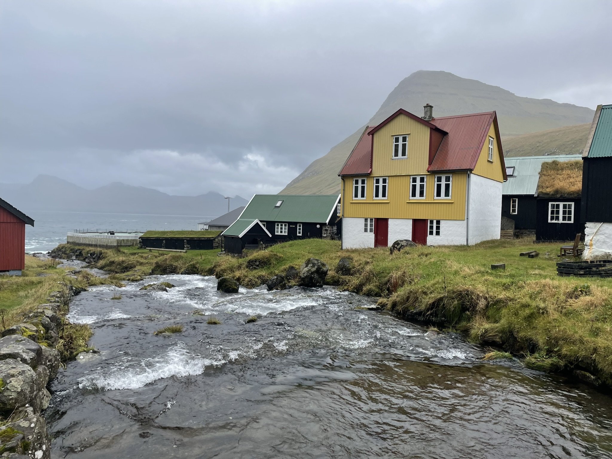
From Toftir, in the south of Eysturoy, we drove to the very far northeast to the small, isolated village of Gjógv. After snaking our way over the mountain pass, we descended into the village, strung out along the coast with a rushing river passing through the centre. This community, which I imagined could easily be cut off in the winter, has the most incredible harbour I’ve ever seen, set in a deep gorge – where the village takes its name from – with a steep staircase down the cliffs. It was an inhospitable harbour that I presumed would seldom be used. Even when we visited on a relatively calm day, the swell rushed through the entrance in a foaming white mass.
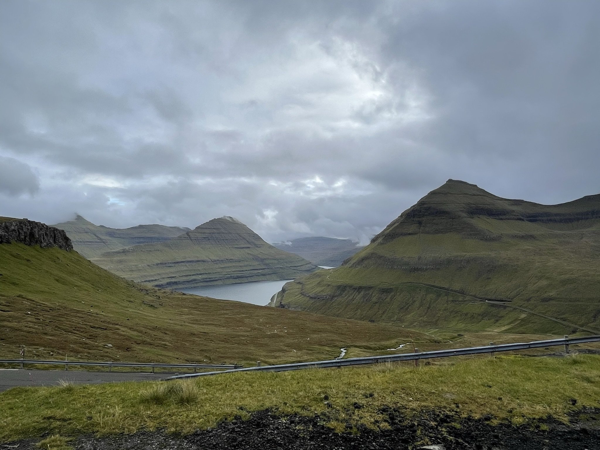
The drive to Gjógv was one of the most beautiful we did in Faroe as we wound our way through the fjords and up mountain hillsides. After Gjógv, we took the bridge back over to Streymoy and headed to Saksun, in the northwest of the island. Saksun sits at the end of a deep Valley and is spectacularly elemental – even more so when we visited as Saksun seemed to sit under its own rain cloud, which was releasing gallons of water into the landscape, causing the burns and rivers to gush, burble and splutter out onto the hillsides, sending great torrents of water in all directions.

Saksun
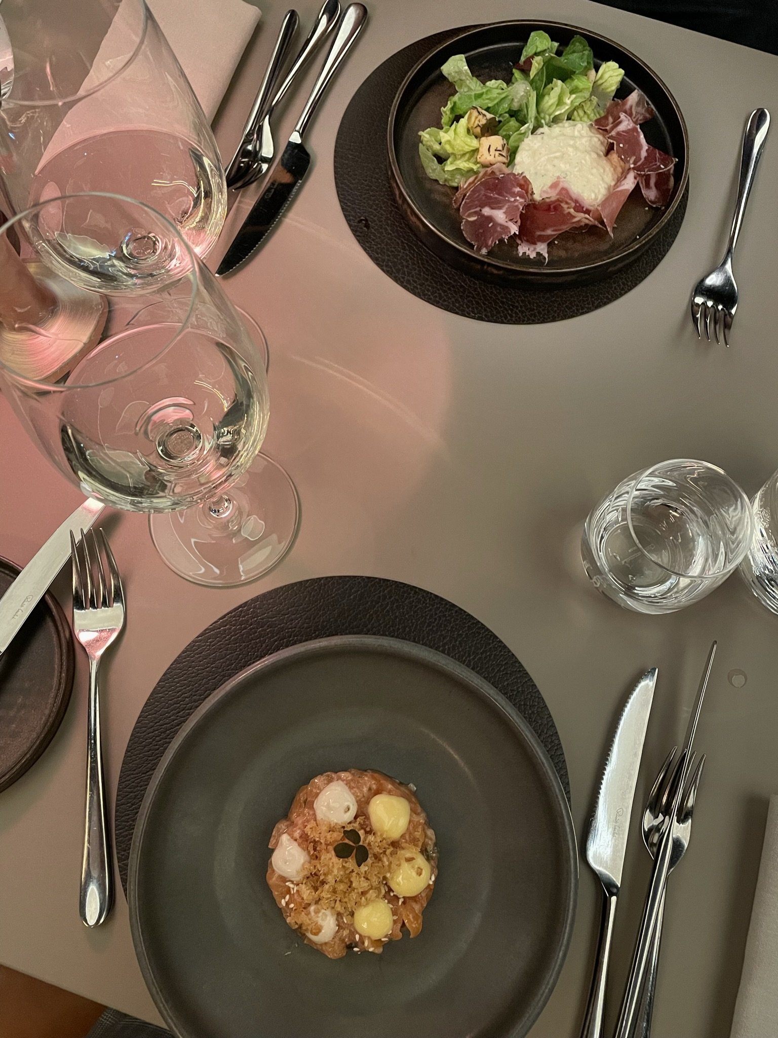
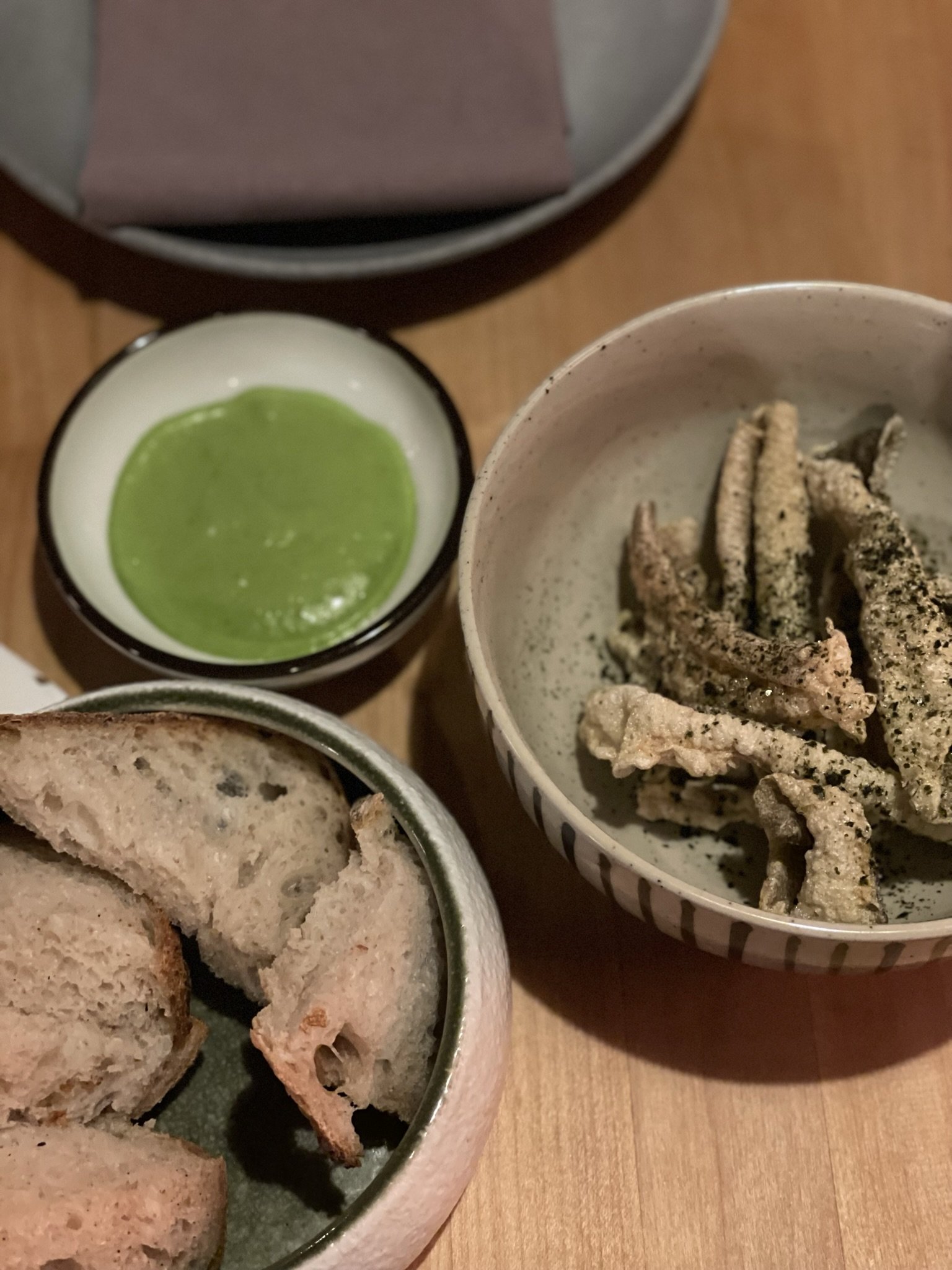
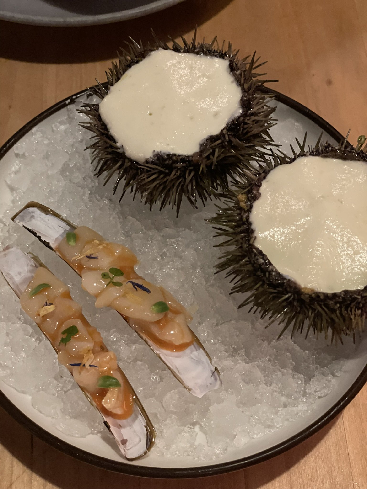
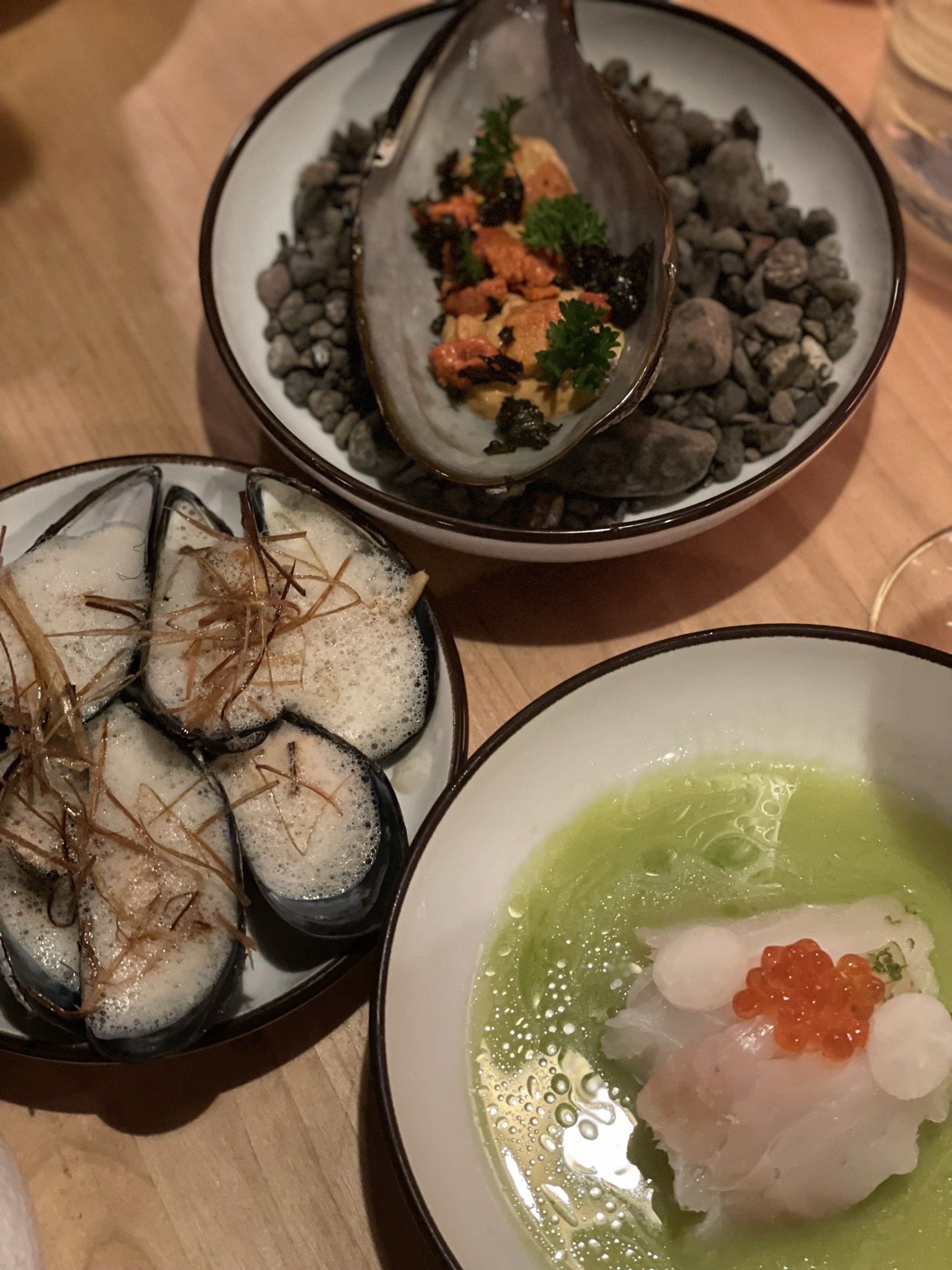
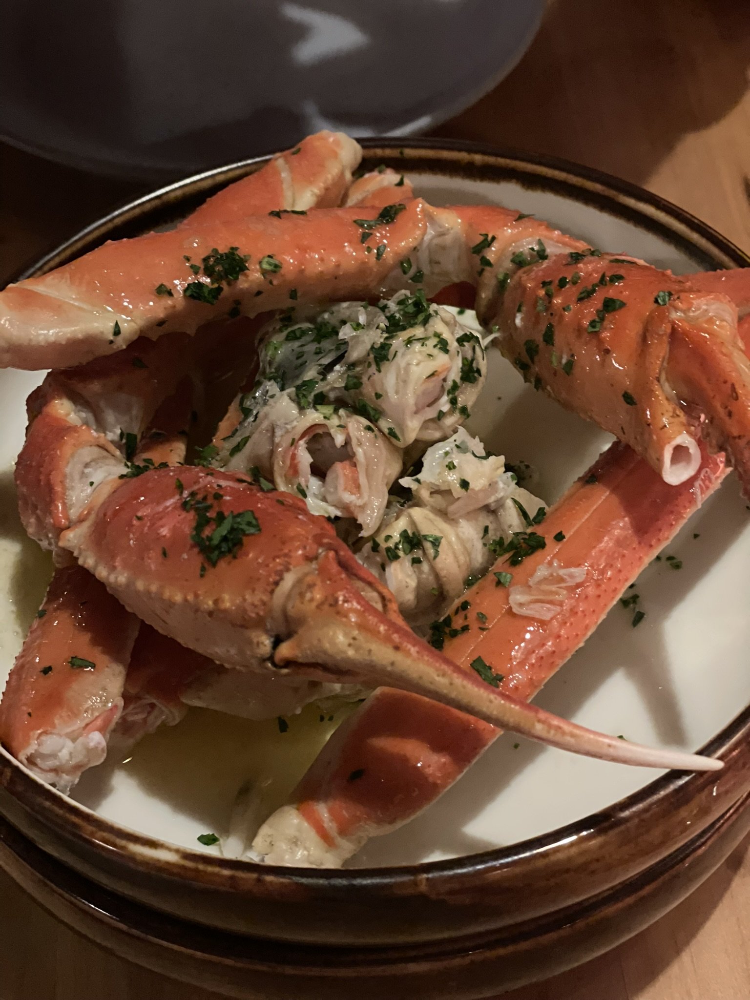
For this, our final night, we booked a table at the highly acclaimed Michelin restaurant Roks, where we enjoyed an incredible tasting meal paired with matching wines. ROKS, in the heart of historic Tórshavn. ROKS is a laid-back sister restaurant to KOKS and keeps the emphasis on the best quality Faroese seafood, combining both modern and classical cooking techniques in a beautiful fusion of flavours. The experience was not pretentious, and the restaurant had a great atmosphere as diners laughed, ate, and soaked in the atmosphere of this traditional building.
Home time
The following day was time to leave, and all that remained was the scenic 45-minute drive back to Vagar Airport for our lunchtime flight. After far too long trying to stuff our sheepskin fleeces into our suitcases, we hit the road and waved goodbye to Faroe.
When I first announced on social media that I was visiting Faroe, I was met with the usual ill-informed judgement that so often blights this proud nation, industrious nation. This angers me even more after visiting, and I’d like to clear up any misconceptions or false information. I have written a response, giving it space on my blog, as I think it’s important. I based this response around a particularly vitriolic email I received, and to prevent any further ill-informed comments, I’ve embedded that response into my website and invite you to read that here before forming a judgement.
Our time in Faroe was brief, but the people, the place, the history, culture and landscapes of this remarkable North Atlantic island moved me. Faroe is inspiring, politically and culturally. In a world becoming more homogenous by the second, the Faroese have retained their language and independence. They are proud of their culture, and my time there has galvanised my belief that Shetland should follow a Faroese model of autonomy in the future. I have realised that Faroe, for better or worse, will always bring out my political side! And for that, I am not sorry.
I hope you have enjoyed my Faroese journey as much as I have enjoyed sharing it with you. For more photos, videos and musings, please look at my highlighted photos on my Instagram page and look out for the YouTube video coming soon!

Ways you can support my work…

